Ågård, Denmark
Ågård | |
|---|---|
Village | |
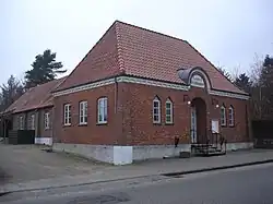 The village hall in Ågård | |
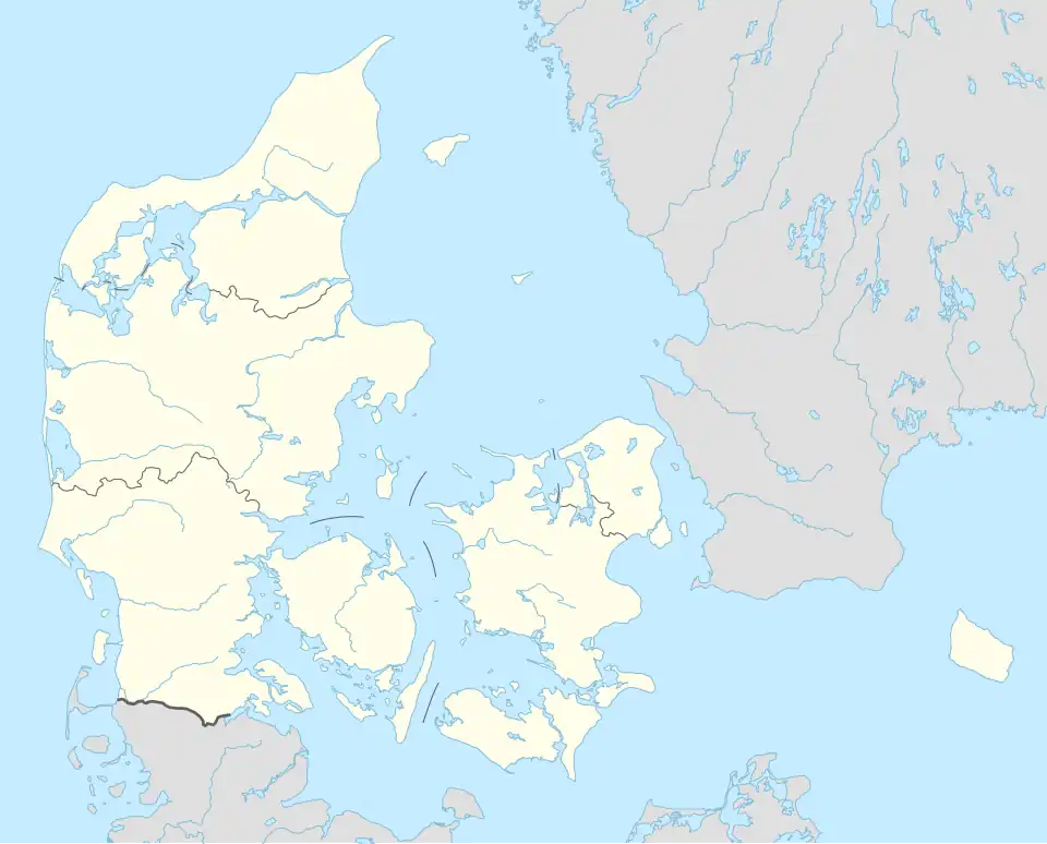 Ågård Location of Ågård in Denmark .svg.png) Ågård Ågård (Region of Southern Denmark) | |
| Coordinates: 55°35′8″N 9°25′27″E / 55.58556°N 9.42417°E | |
| Country | Denmark |
| Region | Southern Denmark |
| Municipality | Vejle Municipality |
| Area | |
| • Urban | 1 km2 (0.4 sq mi) |
| Population (2025)[1] | |
| • Urban | 1,341 |
| • Urban density | 1,300/km2 (3,500/sq mi) |
| Time zone | UTC+1 (CET) |
| • Summer (DST) | UTC+2 (CEST) |
| Postal code | DK-6040 Egtved |
Ågård is a village in Vejle Municipality, Region of Southern Denmark in Denmark. The old village of Ågård has merged with the former railway town of Gravens to the north. Together they form a small urban area, with a population of 1,341 (1 January 2025).[1]
Ågård is located 9 km east of Egtved, 15 km north of Kolding and 17 km southwest of Vejle.
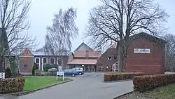
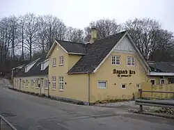
Ågård Efterskole[2] and Ågård Kro (Ågård Inn)[3] are located in the village.
References
- ^ a b BY3: Population 1. January by urban areas, area and population density The Mobile Statbank from Statistics Denmark
- ^ Ågård Efterskole EU
- ^ Ågård Kro - Egtved Menuweb