Çanta, Silivri
Çanta | |
|---|---|
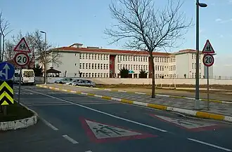 Primary school in Çanta | |
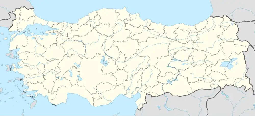 Çanta Location in Turkey 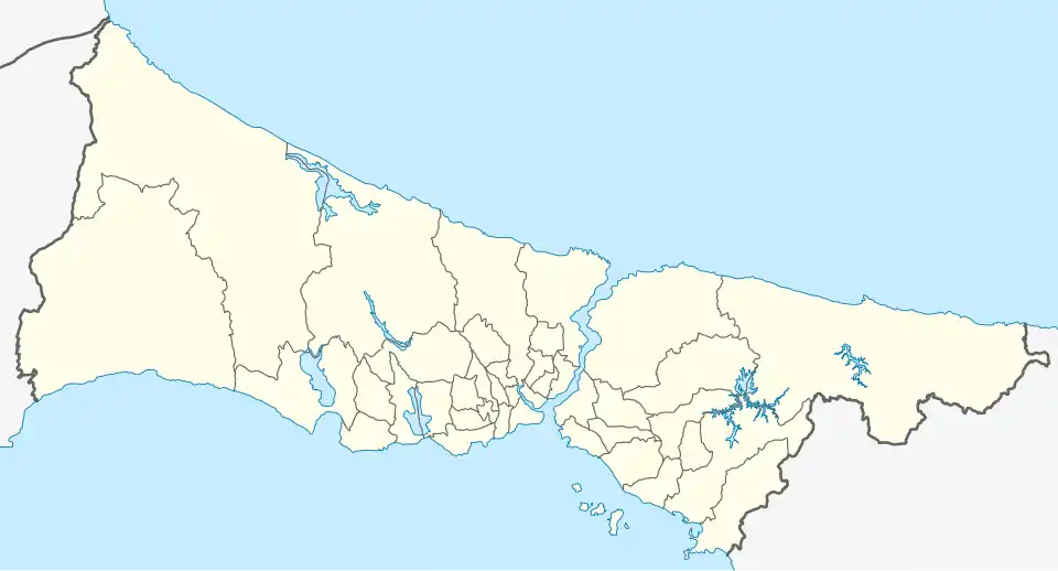 Çanta Çanta (Istanbul) | |
| Coordinates: 41°04′50″N 28°04′55″E / 41.08056°N 28.08194°E | |
| Country | Turkey |
| Province | Istanbul |
| District | Silivri |
| Population (2022) | 10,201 |
| Time zone | UTC+3 (TRT) |
| Postal code | 34570, 34580 |
| Area code | 0212 |

Çanta (Turkish, 'bag') is a settlement in the municipality and district of Silivri, Istanbul Province, Turkey. It consists of two neighbourhoods: Çanta Balaban and Çanta Sancaktepe.[1] Its population is 10,201 (2022).[2] Çanta was an independent municipality until it was merged into the municipality of Silivri in 2008.[3] It is on the European side of the city. It is accessible from the state road D.100 that runs from Istanbul to Edirne.
Population
| Year | Pop. | ±% p.a. |
|---|---|---|
| 1970 | 1,709 | — |
| 1975 | 1,688 | −0.25% |
| 1980 | 1,843 | +1.77% |
| 1985 | 1,988 | +1.53% |
| 1990 | 1,835 | −1.59% |
| 1997 | 4,430 | +13.42% |
| 2007 | 5,869 | +2.85% |
| 2012 | 5,111 | −2.73% |
| 2017 | 8,102 | +9.65% |
| 2022 | 10,201 | +4.72% |
| Source: TÜIK (2007-2022)[4] | ||
See also
References
- ^ Mahalle, Turkey Civil Administration Departments Inventory. Retrieved 12 July 2023.
- ^ "Address-based population registration system (ADNKS) results dated 31 December 2022, Favorite Reports" (XLS). TÜİK. Retrieved 12 July 2023.
- ^ Kanun No. 5747, Resmî Gazete, 22 March 2008.
- ^ "Population Of Municipalities, Villages And Quarters". TÜIK. Retrieved 28 July 2023.
Wikimedia Commons has media related to Çanta, Silivri.