Štikada
Štikada | |
|---|---|
Village | |
 | |
 Štikada | |
| Coordinates: 44°18′57″N 15°47′46″E / 44.31583°N 15.79611°E | |
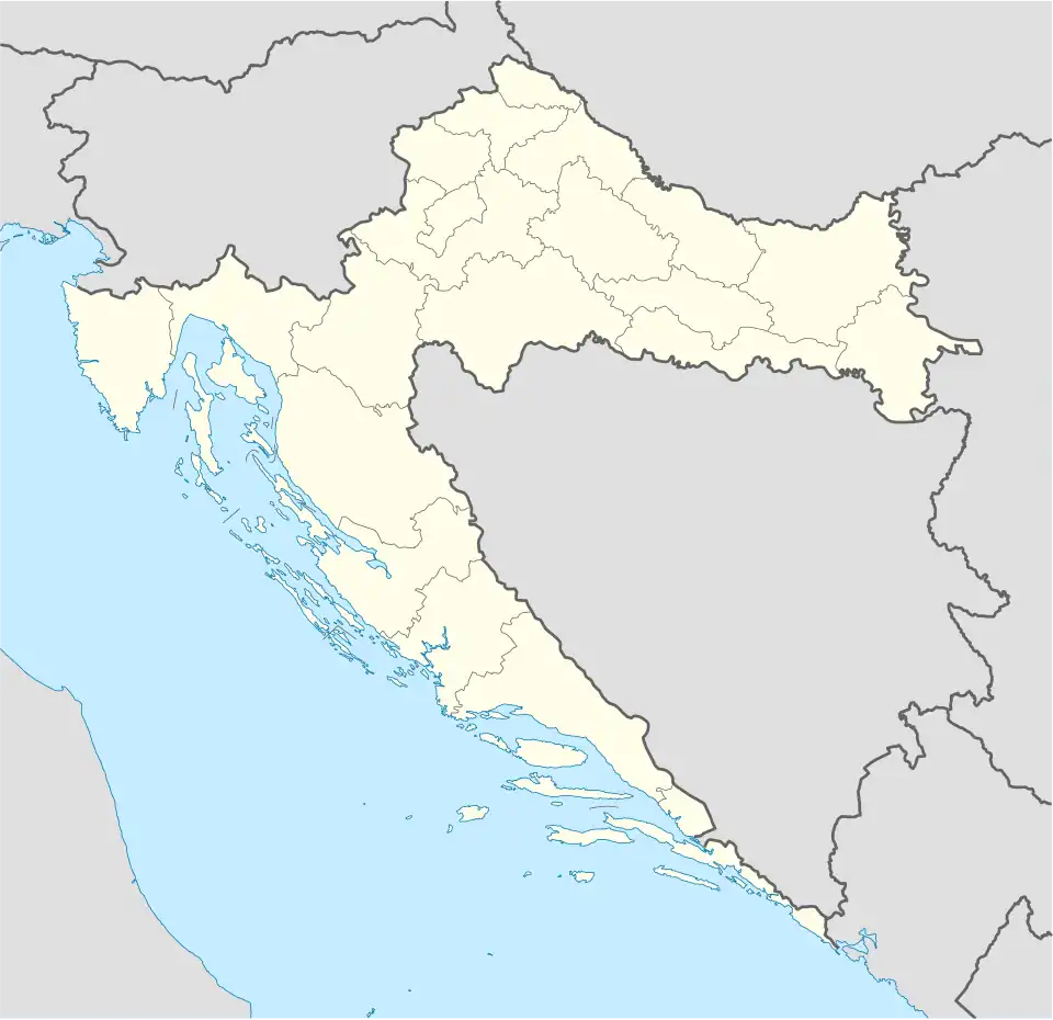
| Country | |
| County | |
| Municipality | Lovinac |
| Area | |
• Total | 35.1 km2 (13.6 sq mi) |
| Elevation | 558 m (1,831 ft) |
| Population (2021)[2] | |
• Total | 197 |
| • Density | 5.6/km2 (15/sq mi) |
| Time zone | UTC+1 (CET) |
| • Summer (DST) | UTC+2 (CEST) |
| Postal code | 53244 |
| Area code | 053 |
Štikada is a village in the Lika-Senj County, Croatia. The settlement is administered as a part of Lovinac municipality.
Location
It is located in Lika, 5 kilometers from Gračac, on the state road D50.
Population
According to national census of 2011, population of the settlement is 216. The majority of the population are Serbs.[3]
| Year | Population[4] |
|---|---|
| 1857 | 2425 |
| 1869 | 2307 |
| 1880 | 1709 |
| 1890 | 1643 |
| 1900 | 1787 |
| 1910 | 1709 |
| 1921 | 1780 |
| 1931 | 2437 |
| 1948 | 497 |
| 1953 | 523 |
| 1961 | 601 |
| 1971 | 554 |
| 1981 | 513 |
| 1991 | 545 |
| 2001 | 175 |
| 2011 | 216 |
See also
References
- ^ Register of spatial units of the State Geodetic Administration of the Republic of Croatia. Wikidata Q119585703.
- ^ "Population by Age and Sex, by Settlements" (xlsx). Census of Population, Households and Dwellings in 2021. Zagreb: Croatian Bureau of Statistics. 2022.
- ^ "Population by Age and Sex, by Settlements, 2011 Census: Štikada". Census of Population, Households and Dwellings 2011. Zagreb: Croatian Bureau of Statistics. December 2012. Retrieved July 4, 2013.
- ^ "1857-2001 census by settlement". Central Bureau of Statistics (Croatia) (in Croatian).
External links
- Official website of the municipality of Lovinac (in Croatian)