Šumeđe
Šumeđe | |
|---|---|
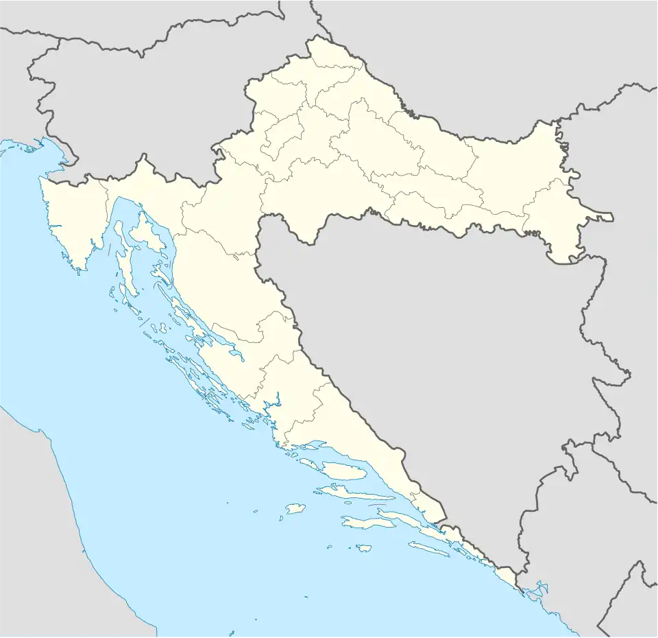 Šumeđe Location of Šumeđe within Croatia | |
| Coordinates: 45°30′N 17°56′E / 45.500°N 17.933°E | |
| Country | |
| County | |
| Area | |
• Total | 4.0 km2 (1.5 sq mi) |
| Elevation | 0 m (0 ft) |
| Population (2021)[2] | |
• Total | 26 |
| • Density | 6.5/km2 (17/sq mi) |
| Time zone | UTC+1 (CET) |
| • Summer (DST) | UTC+2 (CEST) |
| Postal code | 33515 Orahovica |
| Area code | 033 |
Šumeđe is a village in north-eastern Slavonia, situated in municipality town of Orahovica, Virovitica-Podravina County, Croatia.
Population
| year of census | 2001 | 1991 | 1981 | 1971 | 1961 |
|---|---|---|---|---|---|
| Croats | 30 (65.21%) | 5 (7.81%) | 5 (7.14%) | 10 (14.08%) | 5 (6.66%) |
| Serbs | 9 (19.56%) | 51 (79.68%) | 51 (72.85%) | 61 (85.91%) | 70 (93.33%) |
| Yugoslavs | 0 | 0 | 13 (18.57%) | 0 | 0 |
| others and unknown | 7 (15.21%) | 8 (12.50%) | 1 (1.42%) | 0 | 0 |
| total | 46 | 64 | 70 | 71 | 75 |
References
- ^ Register of spatial units of the State Geodetic Administration of the Republic of Croatia. Wikidata Q119585703.
- ^ "Population by Age and Sex, by Settlements" (xlsx). Census of Population, Households and Dwellings in 2021. Zagreb: Croatian Bureau of Statistics. 2022.
- CD-rom: "Naselja i stanovništvo RH od 1857-2001. godine", Izdanje Državnog zavoda za statistiku Republike Hrvatske, Zagreb, 2005.