AH42
 | ||||
|---|---|---|---|---|
| Route information | ||||
| Length | 3,754 km (2,333 mi) | |||
| Major junctions | ||||
| North end | Lanzhou, China | |||
| Bakhari, Mehsi, Bihar, India | ||||
| South end | Barhi, India | |||
| Location | ||||
| Countries | China, Nepal, India | |||
| Highway system | ||||
| ||||
Asian Highway 42 (AH42) is a route of the Asian Highway Network, running 3,754 kilometres (2,333 mi) from AH5 in Lanzhou, China[1] to AH1 in Barhi, India.[2]
Passes through China, Nepal,[3] and India, it is the nearest Asian Highway to Mount Everest.
More than half of the route, from Lhasa to Lanzhou in China, is labelled as a "Potential Asian Highway."[4]
China
It passes through the following cities in China
 G6: Lanzhou - Xining - Golmud - Lhasa (when complete)
- At the moment, Golmud - Nagqu uses
.svg.png) G109.
G109.
- At the moment, Golmud - Nagqu uses
.svg.png) G318: Lhasa - Zhangmu
G318: Lhasa - Zhangmu
Nepal
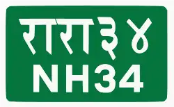 NH34 (Araniko Highway): Kodari - Kathmandu
 NH41 (Tribhuvan Highway): Kathmandu - Narayangarh (AH2) - Pathlaiya (AH2) - Birgunj
India
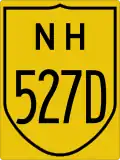 NH 527D Raxaul - Motihari - pipra kothi, Mehsi
 NH 27 Pipra Kothi - Mehsi - Muzaffarpur
 NH 22 Muzaffarpur
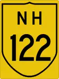 NH 122 Muzaffarpur - Barauni
 NH 31 Barauni - Barh - Bakhtiarpur
 NH 20 Bakhtiarpur - Bihar Sharif - Nawada - Barhi
References
- ^ Economic and Social Commission for Asia and the Pacific, 2003 Asian Highway Handbook Archived 2012-04-14 at the Wayback Machine, 2003, page 32
- ^ Economic and Social Commission for Asia and the Pacific, 2003 Asian Highway Handbook Archived 2012-04-14 at the Wayback Machine, 2003, page 41
- ^ Economic and Social Commission for Asia and the Pacific, 2003 Asian Highway Handbook Archived 2012-04-14 at the Wayback Machine, 2003, page 78
- ^ China AH map, Asian Highway Database: AH Network in Member Countries Archived 2005-11-23 at the Wayback Machine
| Across the whole continent | 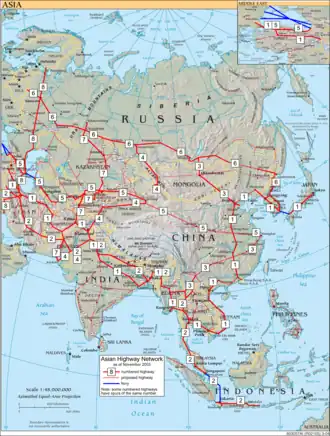 | |
|---|---|---|
| Southeast Asia | ||
| East Asia, Northeast Asia and Southeast Asia | ||
| South Asia | ||
| North Asia, Central Asia and Southwest Asia | ||