Abdur Rahman Khel
Abdur Rahman Khel | |
|---|---|
 Abdur Rahman Khel | |
| Coordinates: 32°34′N 69°39′E / 32.56°N 69.65°E | |
| Country | |
| Territory | Federally Administered Tribal Areas |
| Elevation | 2,417 m (7,930 ft) |
| Time zone | UTC+5 (PST) |
| • Summer (DST) | UTC+6 (PDT) |
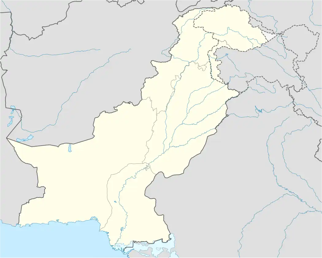
Abdur Rahman Khel is a town in the Federally Administered Tribal Areas of Pakistan. It is located at 32°33'42N 69°39'3E with an altitude of 2,417 metres (7,930 ft).[1]
References
32°33′42″N 69°39′3″E / 32.56167°N 69.65083°E