Adamsville, New Brunswick
Adamsville | |
|---|---|
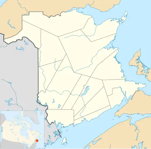 Adamsville Location of Adamsville in New Brunswick | |
| Coordinates: 46°23′48″N 65°11′03″W / 46.396667°N 65.184167°W | |
| Country | Canada |
| Province | New Brunswick |
| County | Kent County |
| Lowest elevation | 0 m (0 ft) |
| Time zone | UTC-4 (Atlantic (AST)) |
| • Summer (DST) | UTC-3 (ADT) |
| Area code | 506 |
| NTS Map | 21I10 Richibucto |
Adamsville is a Canadian unincorporated community, located in Kent County, New Brunswick.[1] The community is situated in southeastern New Brunswick, to the northwest of Moncton. Adamsville is located mainly on the New Brunswick Route 126.
Places of note
- Adamsville Lake has been an important trading spot to its original aboriginal Miq-Maq (Mic-Mac) people.
History
Notable people
See also
References
- ^ "Provincial Archives of New Brunswick". archives.gnb.ca. Government of New Bruinswick. Retrieved 3 February 2024.
Bordering communities
- Coal Branch, New Brunswick
- Grangeville, New Brunswick
- Saint-Augustin, New Brunswick
- Saint-Sosime, New Brunswick