Admiralenbuurt
Admiralenbuurt | |
|---|---|
Neighbourhood of Amsterdam-West | |
 Mercatorplein | |
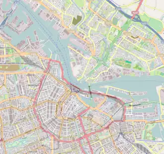 Admiralenbuurt Location in Amsterdam  Admiralenbuurt Admiralenbuurt (Netherlands) | |
| Coordinates: 52°22′11.22″N 4°51′10.94″E / 52.3697833°N 4.8530389°E | |
| Country | Netherlands |
| Province | North Holland |
| Municipality | Amsterdam |
| Borough | West |
| Time zone | CET (UTC+01) |
| • Summer (DST) | CEST (UTC+02) |
Admiralenbuurt (Dutch pronunciation: [ɑtmiˈraːlə(m)ˌbyːrt]) or Mercatorbuurt (Dutch pronunciation: [mɛrˈkaːtɔrˌbyːrt]) is a neighbourhood of the West borough of Amsterdam, Netherlands. It was constructed in the 1920s. The neighbourhood is bisected by the Admiralengracht. From 1990-2010, it was part of the borough of De Baarsjes; in 2010, it became part of the borough of Amsterdam-West along with the rest of De Baarsjes.[1]