Adonijah, West Virginia
Adonijah, West Virginia | |
|---|---|
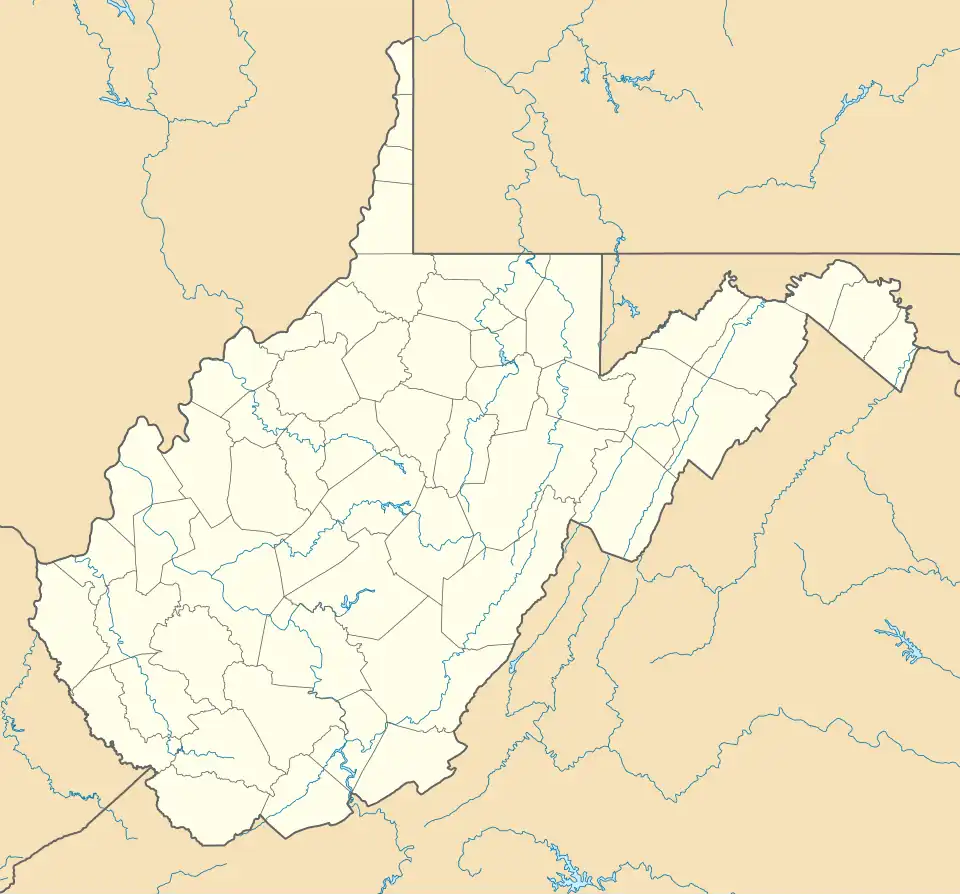 Adonijah Location within the state of West Virginia  Adonijah Adonijah (the United States) | |
| Coordinates: 38°20′2″N 81°11′40″W / 38.33389°N 81.19444°W | |
| Country | United States |
| State | West Virginia |
| County | Clay |
| Elevation | 1,056 ft (322 m) |
| Time zone | UTC-5 (Eastern (EST)) |
| • Summer (DST) | UTC-4 (EDT) |
| GNIS ID | 1741378[1] |
Adonijah is an unincorporated community in Clay County, West Virginia, United States. Adonijah is located at the confluence of the Laurel Fork and Adonijah Fork.[1][2]
References
- ^ a b U.S. Geological Survey Geographic Names Information System: Adonijah, West Virginia
- ^ Bentree Quadrangle, West Virginia (Map). 1 : 24,000. 7.5 Minute Series (Topographic). United States Geological Survey. 2023. Retrieved April 5, 2025.
Municipalities and communities of Clay County, West Virginia, United States | ||
|---|---|---|
| Town |  | |
| Unincorporated communities |
| |
| Footnotes | ‡This populated place also has portions in an adjacent county or counties | |