Aetna Estates, Colorado
Aetna Estates, Colorado | |
|---|---|
 Location of the Aetna Estates CDP in Arapahoe County, Colorado | |
 Aetna Estates Location of the Aetna Estates CDP, Colorado. 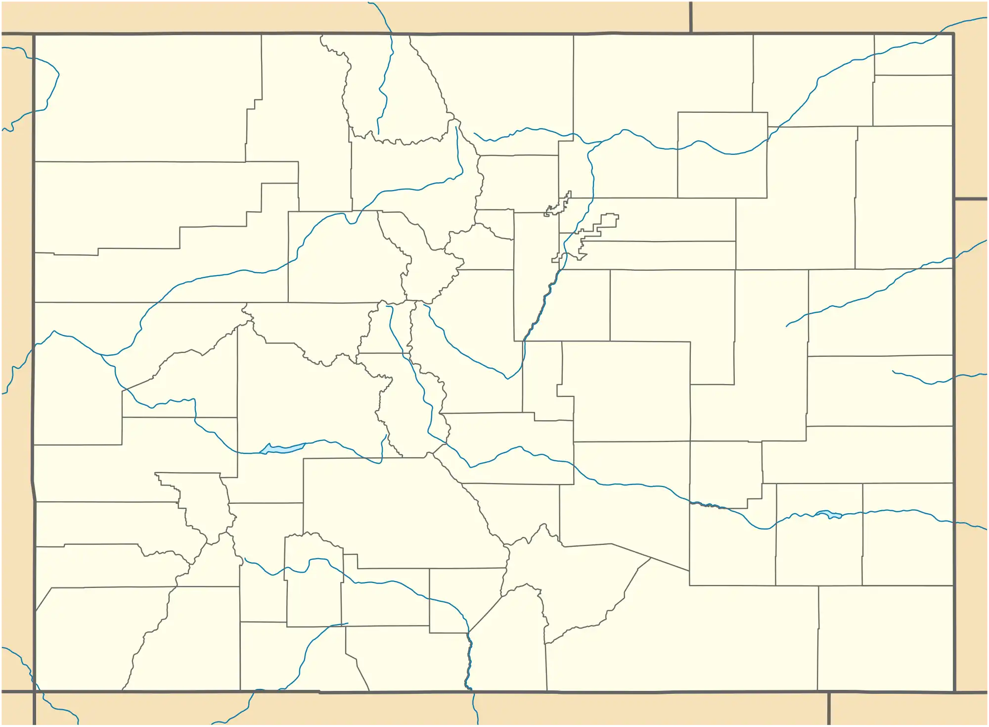 Aetna Estates Aetna Estates (Colorado) | |
| Coordinates: 39°44′17″N 104°40′24″W / 39.7381°N 104.6732°W[2] | |
| Country | United States |
| State | Colorado |
| County | Arapahoe[1] |
| Government | |
| • Type | unincorporated community |
| • Body | Arapahoe County[1] |
| Area | |
• Total | 0.13 sq mi (0.34 km2) |
| • Land | 0.13 sq mi (0.34 km2) |
| • Water | 0.00 sq mi (0.00 km2) |
| Elevation | 5,614 ft (1,711 m) |
| Population | |
• Total | 1,496 |
| • Density | 12,000/sq mi (4,400/km2) |
| Time zone | UTC−07:00 (MST) |
| • Summer (DST) | UTC−06:00 (MDT) |
| ZIP Code[5] | 80018 |
| Area codes | 303/720/983 |
| GNIS CDP ID | 2583206 |
| FIPS code | 08-00620 |
Aetna Estates is an unincorporated community and a census-designated place (CDP) located in Arapahoe County, Colorado, United States. The CDP is a part of the Denver–Aurora–Lakewood, CO Metropolitan Statistical Area. The population of the Aetna Estates CDP was 1,496 at the United States Census 2020.[4] The unincorporated community is surrounded by Aurora and lies in ZIP Code 80018.[5]
Geography
The Aetna Estates CDP has an area of 84 acres (0.339 km2), all land.[6]
Demographics
The United States Census Bureau initially defined the Aetna Estates CDP for the United States Census 2010.
| Year | Pop. | ±% |
|---|---|---|
| 2010 | 834 | — |
| 2020 | 1,496 | +79.4% |
| Source: United States Census Bureau | ||
Education
The school district is Adams-Arapahoe School District 28J.[7]
Zoned schools are as follows:[8] Harmony Ridge P-8 School,[9][10] and Vista PEAK Preparatory School.[11]
See also
- Denver–Aurora–Lakewood, CO Metropolitan Statistical Area
- Front Range Urban Corridor
- List of census-designated places in Colorado
- List of populated places in Colorado
References
- ^ a b "Colorado Counties". Colorado Department of Local Affairs. Retrieved January 10, 2025.
- ^ a b "Aetna Estates CDP, Colorado". Geographic Names Information System. United States Geological Survey, United States Department of the Interior. Retrieved January 10, 2025.
- ^ "2020 U.S. Gazetteer Files". United States Census Bureau. Retrieved October 31, 2021.
- ^ a b United States Census Bureau. "Aetna Estates CDP, Colorado". Retrieved April 19, 2023.
- ^ a b "Zip Code 80018 Map and Profile". zipdatamaps.com. 2020. Retrieved December 20, 2020.
- ^ "State of Colorado Census Designated Places - BAS20 - Data as of January 1, 2020". United States Census Bureau. Retrieved November 23, 2020.
- ^ "2020 CENSUS - SCHOOL DISTRICT REFERENCE MAP: Arapahoe County, CO" (PDF). U.S. Census Bureau. p. 2 (PDF p. 3/6). Retrieved 2024-11-01. - Text list.
- ^ "2020 CENSUS - CENSUS BLOCK MAP: Aetna Estates CDP, CO" (PDF). U.S. Census Bureau. Retrieved 2024-11-02.
- ^ "2024-25 APS K-5 Attendance Areas" (PDF). Adams-Arapahoe School District 28J. Retrieved 2024-11-02. - Detail of Harmony Ridge boundary
- ^ "2024-25 APS 6-8 Attendance Areas" (PDF). Adams-Arapahoe School District 28J. Retrieved 2024-11-02. - Detail of Harmony Ridge boundary
- ^ "2024-25 APS 9-12 Attendance Areas" (PDF). Adams-Arapahoe School District 28J. Retrieved 2024-11-02. - Detail of Vista PEAK boundary
External links
Wikimedia Commons has media related to Arapahoe County, Colorado.
Municipalities and communities of Arapahoe County, Colorado, United States | ||
|---|---|---|
| Cities |  | |
| Towns | ||
| CDPs | ||
| Unincorporated communities | ||
| Footnotes | ‡This populated place also has portions in an adjacent county or counties | |