Agrahara, Chintamani
Agrahara, Chintamani | |
|---|---|
village | |
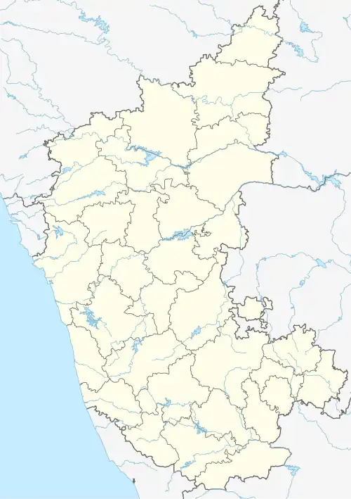 Agrahara, Chintamani Location in Karnataka, India  Agrahara, Chintamani Agrahara, Chintamani (India) | |
| Coordinates: 13°03′31″N 78°00′18″E / 13.058710°N 78.0049300°E | |
| Country | |
| State | Karnataka |
| District | Chikkaballapur |
| Talukas | Chintamani |
| Government | |
| • Body | Village Panchayat |
| Languages | |
| • Official | Kannada |
| Time zone | UTC+5:30 (IST) |
| Nearest city | Kolar |
| Civic agency | Village Panchayat |
Agrahara, Chintamani is a village in the southern state of Karnataka, India.[1][2] It is located in the Chintamani taluk of Chikkaballapur district in Karnataka.
See also
References
- ^ "Census of India : List of Villages Alphabetical Order > Karnataka". Registrar General & Census Commissioner, India. Retrieved 18 December 2008. , Census Village code= 1827000
- ^ "Yahoo! maps India". Archived from the original on 18 December 2008. Retrieved 17 April 2009. Agrahara, Chintamani, Chikkaballapur , Karnataka
External links
District HQ: Kolar | |
| Villages and Towns |
|