Alène
| Alène | |
|---|---|
.JPG) The Alène at Luzy. | |
  | |
| Location | |
| Country | France |
| Physical characteristics | |
| Source | |
| • location | Poil |
| • coordinates | 46°51′47″N 04°01′57″E / 46.86306°N 4.03250°E |
| • elevation | 410 m (1,350 ft) |
| Mouth | |
• location | Aron |
• coordinates | 46°51′59″N 03°39′19″E / 46.86639°N 3.65528°E |
• elevation | 195 m (640 ft) |
| Length | 55.9 km (34.7 mi) |
| Basin size | 338 km2 (131 sq mi) |
| Discharge | |
| • average | 4.48 m3/s (158 cu ft/s) |
| Basin features | |
| Progression | Aron→ Loire→ Atlantic Ocean |
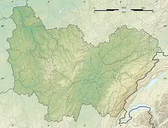
The Alène (French pronunciation: [alɛn]) is a 55.9-kilometre (34.7 mi) long river in the Nièvre department in central France.[1] Its source is at Poil, about 3 kilometres (2 mi) west of the village, in the parc naturel régional du Morvan. It flows generally west. It is a left tributary of the Aron, into which it flows at Cercy-la-Tour, about 15 kilometres (9 mi) east-northeast of Decize.
Communes along its course
This list is ordered from source to mouth:
References
Wikimedia Commons has media related to Alène (river).