Al-Āghwār ash-Shamāliyah
Al-Aghwar Al-Shamaliyah | |
|---|---|
District | |
 Al-Aghwar Al-Shamaliyah | |
| Coordinates: 32°28′15″N 35°35′43″E / 32.4709°N 35.5954°E | |
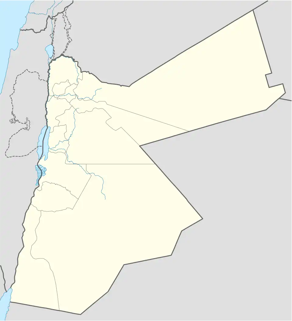
| Country | Jordan |
| Governorate | Irbid |
| Area | |
• Total | 246.3 km2 (95.1 sq mi) |
| Population (2015 census) | |
• Total | 122,330 |
| • Density | 500/km2 (1,300/sq mi) |
| Time zone | GMT +2 |
| • Summer (DST) | +3 |
Al-Aghwar Al-Shamaliyah (Arabic: الأغوار الشمالية) is one of the districts of Irbid governorate, Jordan.[1][2]
References
- ^ "Jordan: Administrative Division, Governorates and Districts". citypopulation.de. Retrieved 25 December 2016.
- ^ "Atlas of ELECTORAL DISTRICTS" (PDF). UNDP. Retrieved 30 January 2019.
| Capital | |
|---|---|
| Departments | |
| Cities and towns | |
| Others | |