Al-Shaafah
Al-Shaafah
الشعفة | |
|---|---|
Town | |
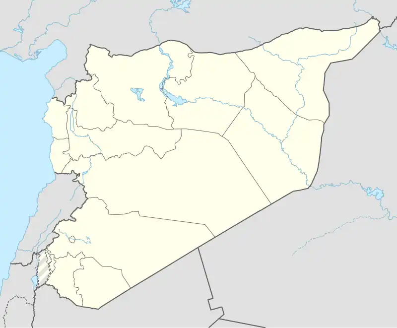 Al-Shaafah Location in Syria | |
| Coordinates: 34°34′04″N 40°56′03″E / 34.56778°N 40.93417°E | |
| Country | Syria |
| Governorate | Deir ez-Zor |
| District | Abu Kamal |
| Subdistrict | al-Susah |
| Control | |
| Population (2004) | |
• Total | 18,956 |
| Time zone | UTC+2 (EET) |
| • Summer (DST) | UTC+3 (EEST) |
| City Qrya Pcode | C5183 |
Al-Shaafah (Arabic: الشعفة, romanized: aš-Ša'fah) is a Syrian town located in Abu Kamal District, Deir ez-Zor. According to the Syria Central Bureau of Statistics (CBS), Al-Shaafah had a population of 18,956 in the 2004 census.[1]
The town was part of the last strip of land in Syria controlled by the Islamic State (IS). On 6 January 2019, the town was fully captured by the SDF.[2]
References
- ^ "General Census of Population 2004". Retrieved 2017-12-01.
- ^ "Breaking: SDF troops capture ISIS stronghold east of Euphrates". Al-Masdar News. 6 January 2019. Archived from the original on 22 June 2019. Retrieved 6 January 2019.
Capital: Deir ez-Zor | |||||||
|  | ||||||
|
| |||||||