Alamikamba Airport
Alamikamba Airport | |||||||||||
|---|---|---|---|---|---|---|---|---|---|---|---|
| Summary | |||||||||||
| Airport type | Public | ||||||||||
| Serves | Alamikamba | ||||||||||
| Elevation AMSL | 65 ft / 20 m | ||||||||||
| Coordinates | 13°30′50″N 84°14′50″W / 13.51389°N 84.24722°W | ||||||||||
| Map | |||||||||||
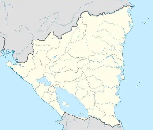 MNAL Location of the airport in Nicaragua | |||||||||||
| Runways | |||||||||||
| |||||||||||
Alamikamba Airport (ICAO: MNAL) is an airstrip serving the Prinzapolka River village of Alamikamba in the North Caribbean Coast Autonomous Region, Nicaragua. The runway is 3 kilometres (1.9 mi) northwest of the river bend.
See also
References
External links
- Jim Drebert's Gallery Four gallery photos
- HERE Maps - Alamikamba
- OpenStreetMap - Alamikamba
- OurAirports - Alamikamba
- Alamikamba