Alhanwadi
Alhanwadi | |
|---|---|
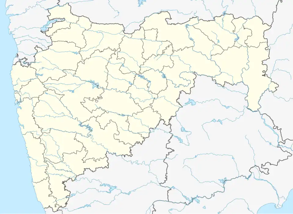 Alhanwadi Location in Maharashtra, India  Alhanwadi Alhanwadi (India) | |
| Coordinates: 19°03′N 75°06′E / 19.05°N 75.10°E | |
| Country | |
| State | Maharashtra |
| District | Ahmadnagar |
| Population | |
• Total | area_magnitude= sq. km |
| Languages | |
| • Official | Marathi |
| Time zone | UTC+5:30 (IST) |
| PIN | 414 106 |
| Telephone code | 02428 |
| Vehicle registration | MH-16 |
| Nearest city | Pathardi, Tisgaon, Dharwadi, chichondi, karanji. |
| Lok Sabha constituency | Rahuri |
| Civic agency | Grampanchayat |
| Climate | Dry and hot (Köppen) |
| Avg. summer temperature | 40 °C (104 °F) |
| Avg. winter temperature | 15 °C (59 °F) |
Alhanwadi is a village in Pathardi taluka, Ahmadnagar district of Maharashtra state in Indian territory.[1]
Geography
Alhanwadi has an average elevation of . The village is located on intersection of Pathardi.
References
- ^ "Alhanwadi Population - Ahmadnagar, Maharashtra". census2011.co.in. Census Organization of India. 2025. Retrieved 19 March 2025.