Allrode
Allrode | |
|---|---|
 Coat of arms | |
Location of Allrode | |
 Allrode 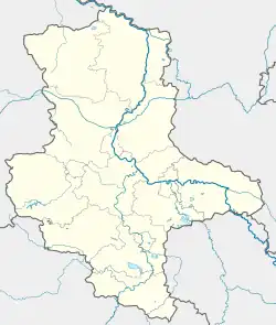 Allrode | |
| Coordinates: 51°41′N 10°58′E / 51.683°N 10.967°E | |
| Country | Germany |
| State | Saxony-Anhalt |
| District | Harz |
| Town | Thale |
| Area | |
• Total | 17.41 km2 (6.72 sq mi) |
| Elevation | 448 m (1,470 ft) |
| Population (2009-12-31) | |
• Total | 654 |
| • Density | 38/km2 (97/sq mi) |
| Time zone | UTC+01:00 (CET) |
| • Summer (DST) | UTC+02:00 (CEST) |
| Postal codes | 06507 |
| Dialling codes | 039487 |
| Vehicle registration | HZ |
Allrode is a village and a former municipality in the district of Harz, in Saxony-Anhalt, Germany.[1] Since 1 January 2011, it is part of the town Thale.[2]
There are two prominent trees - the Hohle Eiche ("hollow oak") and Adlereiche ("eagle oak") - in the woods northeast of the village that were checkpoints 57 and 58 in the Harzer Wandernadel hiking network. Today checkpoint 57 is the Echowiese Allrode.
References
- ^ "Allrode - Harzer Tourismusverband e.V." en.harzinfo.de. Retrieved 2024-08-08.
- ^ "Stadtplan Thale". m.unser-stadtplan.de. Retrieved 2024-08-08.