Altamira Airport (Nicaragua)
Altamira Airport | |||||||||||
|---|---|---|---|---|---|---|---|---|---|---|---|
| Summary | |||||||||||
| Airport type | Public | ||||||||||
| Serves | Altamira, Nicaragua | ||||||||||
| Elevation AMSL | 121 ft / 37 m | ||||||||||
| Coordinates | 12°08′10″N 85°42′55″W / 12.13611°N 85.71528°W | ||||||||||
| Map | |||||||||||
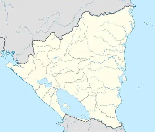 MNAM Location of the airport in Nicaragua | |||||||||||
| Runways | |||||||||||
| |||||||||||
Altamira Airport (ICAO: MNAM) is an airport serving the Agrícola Miramontes[3] farming complex in the Boaco Department of Nicaragua. The runway is 4.8 kilometres (3 mi) north of Lake Nicaragua.
The Managua VOR-DME (Ident: MGA) is located 26.0 nautical miles (48 km) west of the airport.[4]
See also
References
- ^ Great Circle Mapper - Altamira
- ^ Google Maps - Altamira
- ^ "Agricola Miramontes". YouTube. Retrieved 14 January 2019.
- ^ "Managua VOR". Our Airports. Retrieved 14 January 2019.
External links
- HERE Maps - Altamira Airport
- OurAirports - Altamira Airport
- FallingRain - Altamira Airport
- Accident history for MNAM at Aviation Safety Network