Alur, Hassan
Alur, Hassan
Aaluru | |
|---|---|
Town | |
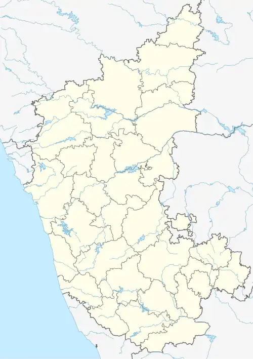 Alur, Hassan Location in Karnataka, India | |
| Coordinates: 12°58′41″N 75°58′59″E / 12.9780456°N 75.9830654°E | |
| Country | |
| State | Karnataka |
| District | Hassan |
| Government | |
| • Body | Town Panchayath |
| Area | |
• Town | 2 km2 (0.8 sq mi) |
| • Rural | 420.92 km2 (162.52 sq mi) |
| Elevation | 974 m (3,196 ft) |
| Population (2011) | |
• Town | 6,541[1] |
| • Rural | 78,714 |
| Languages | |
| • Official | Kannada |
| Time zone | UTC+5:30 (IST) |
| PIN | 573 213 |
| Telephone code | 08170 |
| ISO 3166 code | IN-KA |
| Vehicle registration | KA-46 |
| Website | www |
Alur also spelled as Alooru is a town and the taluk headquarters of Alur Taluk in Hassan district in the state of Karnataka, India. It is 14 km from Hassan City. Alur town is offset by 2 km from NH-75. Alur has a railway station, named "Alur Halt", located on Mangalore-Hassan line. But no train stops at this station.[2]
Demography
As per 2001 census, Alur has a population of 4961.
Gallery
-
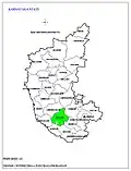 Positioning of Hassan district in Karnataka
 -
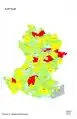
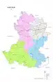
 Hobli Map of Hassan district
 -
 Map of Alur Taluk as per 2001 Census
 -
 Map of Alur Taluk as per 2011 Census
 -
 Alur Taluk - Hobli and Village Map
 -
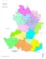 Alur Taluk - Grama Panchayat and Village Map
 -
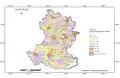
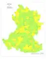 Alur Taluk Map about Fluoride content in DWS
See also
References
- ^ "Census Data Handbook Hassan 2011" (PDF). Retrieved 28 July 2023.
- ^ "Hassan people want train services to Mangaluru increased". The Hindu. 30 January 2015. Retrieved 11 September 2017.