Ambatomainty, Ikalamavony
Ambatomainty | |
|---|---|
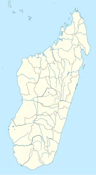 Ambatomainty Location in Madagascar | |
| Coordinates: 20°54′S 46°27′E / 20.900°S 46.450°E | |
| Country | |
| Region | Haute Matsiatra |
| District | Ikalamavony |
| Elevation | 749 m (2,457 ft) |
| Population (2018) | |
• Total | 12,421 |
| Time zone | UTC3 (EAT) |
| Climate | Cwa |
Ambatomainty is a rural municipality in Madagascar. It belongs to the district of Ikalamavony District, which is a part of Haute Matsiatra Region. The population of the commune was estimated to be approximately 12,421 in 2018.
Only primary schooling is available. The majority 95% of the population of the commune are farmers, while an additional 5% receives their livelihood from raising livestock. The most important crop is rice, while other important products are peanuts, beans and cassava.[2]
Roads
The partly unpaved National road 42 links the town to Isorana and Fianarantsoa.
See also
- Ranotsara – a fokontany (village) of this municipality.
References and notes
- ^ Estimated based on DEM data from Shuttle Radar Topography Mission
- ^ "ILO census data". Cornell University. 2002. Retrieved 2008-05-01.
Capital: Fianarantsoa | ||
| Ambalavao (17) - 303 | 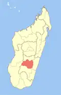 | |
| Ambohimahasoa (17) - 305 | ||
| Fianarantsoa (1) - 301 | ||
| Ikalamavony (8) - 314 | ||
| Isandra (13) - 314 | ||
| Lalangina (13) - 303 | ||
| Vohibato (15) - 305 | ||
Total: 7 districts; 84 communes | ||
20°54′S 46°27′E / 20.900°S 46.450°E