Ambolomadinika
Ambolomadinika | |
|---|---|
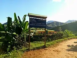 The college of Ambolomadinika | |
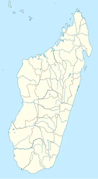 Ambolomadinika Location in Madagascar | |
| Coordinates: 21°57′S 47°26′E / 21.950°S 47.433°E | |
| Country | |
| Region | Fitovinany |
| District | Ikongo |
| Elevation | 265 m (869 ft) |
| Population (2018)Census | |
• Total | 17,616 |
| Time zone | UTC3 (EAT) |
| Postal code | 310 |
Ambolomadinika is a rural municipality in Madagascar. It belongs to the district of Ikongo, which is a part of Fitovinany. The population numbered to 17,616 inhabitants in 2018.
Only primary schooling is available. The majority 98% of the population of the commune are farmers. The most important crops are coffee and rice, while other important agricultural products are bananas and cassava. Services provide employment for 2% of the population.[2]
River
It lies at the Sandrananta River.
References
- ^ Estimated based on DEM data from Shuttle Radar Topography Mission
- ^ "ILO census data". Cornell University. 2002. Retrieved 2008-05-03.
Wikimedia Commons has media related to Ambolomadinika.
Capital: Manakara | ||
| Ikongo (17) - 310 | 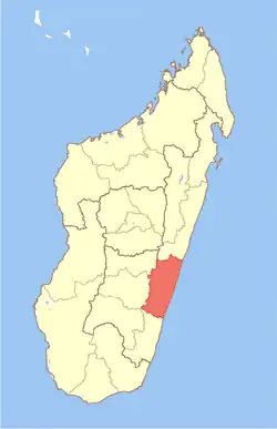 | |
| Manakara (42) - 316 |
| |
| Vohipeno (19) - 321 | ||
3 districts; 78 communes | ||
21°57′S 47°26′E / 21.950°S 47.433°E