Amdara
Amdara | |
|---|---|
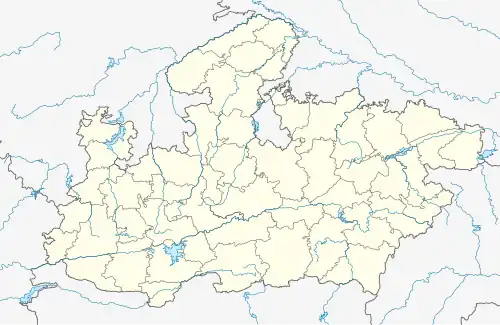 Amdara Location in Madhya Pradesh, India | |
| Coordinates: 24°06′N 80°34′E / 24.10°N 80.57°E | |
| Country | |
| State | Madhya Pradesh |
| District | Maihar district |
| Languages | |
| • Official | Hindi |
| PIN | 485771 |
| Vehicle registration | MP 19 |
Amdara is a town and a railway station in Maihar district of Madhya Pradesh.[1] It is also a proposed tehsil headquarters. It's belongs to Rewa Division.
Geography
Amdara is located at 24°06′N 80°34′E / 24.10°N 80.57°E. It has an average elevation of 367 metres (1204 ft). It is in the Maihar district on the Jabalpur–Satna railway line.[2]
Demographics
As per Census of India 2011, Amdara town has population of 2,524 of which 1,281 are males while 1,243 are females.[3]
Transportation
Amdara is well connected with roadways and railways.
The town is located on the Jabalpur–Prayagraj railway line and connected with many major cities.
Amdara is situated between Katni and Maihar, with daily bus services.[4]
References
- ^ "Police Stations | District Maihar, Government of Madhya Pradesh | India".
- ^ "Maps, Weather, and Airports for Amdara, India". www.fallingrain.com.
- ^ "Amdara Village Population - Maihar - Satna, Madhya Pradesh". www.census2011.co.in.
- ^ "Amdara Railway Station Map/Atlas WCR/West Central Zone - Railway Enquiry". indiarailinfo.com.