Ancayoc Cucho
| Ancayoc Cucho | |
|---|---|
 Ancayoc Cucho Peru | |
| Highest point | |
| Elevation | 5,000 m (16,000 ft)[1] |
| Coordinates | 14°15′20″S 69°47′04″W / 14.25556°S 69.78444°W |
| Geography | |
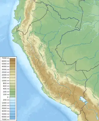
| Location | Peru, Puno Region |
| Parent range | Andes |
Ancayoc Cucho (possibly from Quechua anka black-chested buzzard-eagle or eagle, k'uchu corner, inside corner or outward angle,[2][3] "corner with an eagle") is a mountain in the Andes of Peru, about 5,000 metres (16,404 ft) high. It is located in the Puno Region, Sandia Province, Limbani District.
References
- ^ escale.minedu.gob.pe - UGEL map of the Carabaya Province (Puno Region)
- ^ Diccionario Quechua - Español - Quechua, Academía Mayor de la Lengua Quechua, Gobierno Regional Cusco, Cusco 2005 (Quechua-Spanish dictionary)
- ^ Teofilo Laime Ajacopa (2007). Diccionario Bilingüe: Iskay simipi yuyayk’anch: Quechua – Castellano / Castellano – Quechua (PDF). La Paz, Bolivia: futatraw.ourproject.org.