Andulinang Island
 Andulinang Island | |
.svg.png) Andulinang Island Location within the Philippines | |
| Geography | |
|---|---|
| Coordinates | 4°46′20″N 119°14′31″E / 4.77222°N 119.24194°E |
| Archipelago | Sulu Archipelago |
| Adjacent to | Celebes Sea |
| Area | 0.02 km2 (0.0077 sq mi)[1] |
| Administration | |
| Region | Bangsamoro Autonomous Region in Muslim Mindanao |
| Province | Tawi-Tawi |
| Municipality | Sitangkai |
| Additional information | |

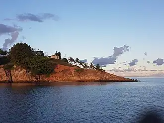
Andulinang Island is an island in the municipality of Sitangkai, Tawi-Tawi. With an area of 0.02 square kilometres (0.0077 sq mi). It is located at the western edge of the Andulinang Reef.[1] It is one of the last islands of the Sulu Archipelago nearest the Philippine-Malaysian border next to Panguan Island and Mardanas Island.
See also
References
- ^ a b Malicdem, Ervin (2 June 2017). "Tawi-Tawi: A mapping expedition to the Philippines Southernmost Sojourn". Schadow1 Expeditions. Retrieved 26 June 2017.
External links
Wikimedia Commons has media related to Andulinang Island.