Antonaves
Antonaves | |
|---|---|
Part of Val Buëch-Méouge | |
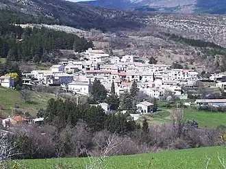 A view of the village in Antonaves | |
 Coat of arms | |
Location of Antonaves | |
 Antonaves 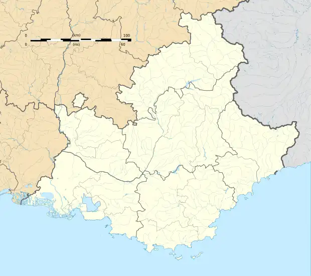 Antonaves | |
| Coordinates: 44°16′02″N 5°48′20″E / 44.2672°N 5.8056°E | |
| Country | France |
| Region | Provence-Alpes-Côte d'Azur |
| Department | Hautes-Alpes |
| Arrondissement | Gap |
| Canton | Ribiers |
| Commune | Val Buëch-Méouge |
Area 1 | 8.03 km2 (3.10 sq mi) |
| Population (2021)[1] | 141 |
| • Density | 18/km2 (45/sq mi) |
| Time zone | UTC+01:00 (CET) |
| • Summer (DST) | UTC+02:00 (CEST) |
| Postal code | 05300 |
| Elevation | 512–1,414 m (1,680–4,639 ft) (avg. 625 m or 2,051 ft) |
| 1 French Land Register data, which excludes lakes, ponds, glaciers > 1 km2 (0.386 sq mi or 247 acres) and river estuaries. | |
Antonaves (French pronunciation: [ɑ̃tɔnav]; Vivaro-Alpine: Antonavas) is a former commune of the Hautes-Alpes department in southeastern France. On 1 January 2016, it was merged into the new commune Val Buëch-Méouge.[2] It is located at the confluence of the rivers Méouge and Buëch, and is known as the gateway to the Gorges de la Méouge, a 4 km limestone gorge.
Population
| Year | Pop. | ±% |
|---|---|---|
| 1962 | 60 | — |
| 1968 | 62 | +3.3% |
| 1975 | 70 | +12.9% |
| 1982 | 101 | +44.3% |
| 1990 | 126 | +24.8% |
| 1999 | 158 | +25.4% |
| 2008 | 179 | +13.3% |
| 2012 | 180 | +0.6% |
| 2013 | 179 | −0.6% |
See also
References
- ^ "Populations légales 2021" [Legal populations 2021] (PDF) (in French). INSEE. December 2023.
- ^ Arrêté préfectoral 27 August 2015 (in French)
Wikimedia Commons has media related to Antonaves.