Apache Grove, Arizona
Apache Grove, Arizona | |
|---|---|
Populated place | |
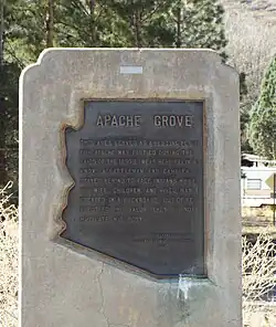 Apache Grove Marker | |
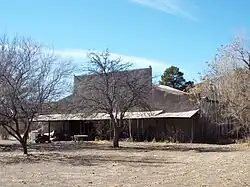
 Apache Grove  Apache Grove | |
| Coordinates: 32°52′11″N 109°11′25″W / 32.86972°N 109.19028°W | |
| Country | United States |
| State | Arizona |
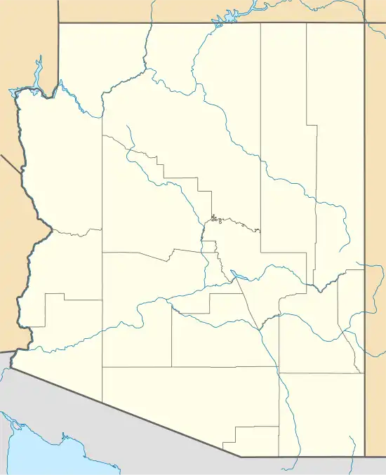
| County | Greenlee |
| Elevation | 3,550 ft (1,080 m) |
| Time zone | UTC-7 (Mountain (MST)) |
| • Summer (DST) | UTC-7 (MST) |
| Area code | 520 |
| FIPS code | 04-02700 |
| GNIS feature ID | 24305[1] |
Apache Grove is a populated place situated in Greenlee County, Arizona, United States.[2] It has an estimated elevation of 3,550 feet (1,080 m) above sea level. The Apache Creek runs through the town and there is a small bar and convenience store north of the creek.
References
- ^ a b U.S. Geological Survey Geographic Names Information System: Apache Grove, Arizona
- ^ "Apache Grove (in Greenlee County, AZ) Populated Place Profile". AZ Hometown Locator. Retrieved January 8, 2016.
Municipalities and communities of Greenlee County, Arizona, United States | ||
|---|---|---|
| Towns |  | |
| CDPs | ||
| Populated places | ||
| Ghost towns | ||