Apagado
| Apagado (Hualiaque) | |
|---|---|
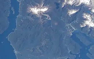 The volcano is visible in the lower center of this NASA image. | |
| Highest point | |
| Elevation | 1,210 m (3,970 ft) |
| Coordinates | 41°53′0″S 72°35′0″W / 41.88333°S 72.58333°W |
| Geography | |
| Location | Los Lagos Region, Chile |
| Parent range | Andes |
| Geology | |
| Rock age | 2,500 years[1] |
| Mountain type | Pyroclastic cone |
| Last eruption | 590 BCE |
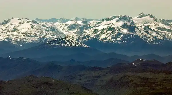
Apagado (Spanish for Extinct, also known as Hualiaque) is a pyroclastic cone with scattered vegetation cover. It has an approximately 400 m (1,312 ft)-wide crater and a base diameter of approximately 2 km (1 mi). The volcano is located in Chile's Los Lagos Region, and lies 13 km (8 mi) west of the Hornopirén Volcano and southwest of Yate Volcano on a peninsula that borders the Reloncaví Estuary, Reloncaví Sound and Gulf of Ancud. Apagado has a nearly intact summit crater.
See also
References
- ^ "Global Volcanism Program | Apagado". Smithsonian Institution | Global Volcanism Program. Retrieved 2024-09-10.
External links
- SI Google Earth Placemarks - Smithsonian Institution Global Volcanism Program: download placemarks with SI Holocene volcano-data.