Apeton
| Apeton | |
|---|---|
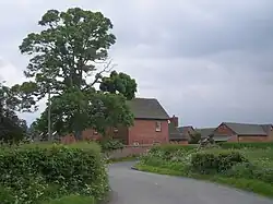 Farmhouse at Apeton | |
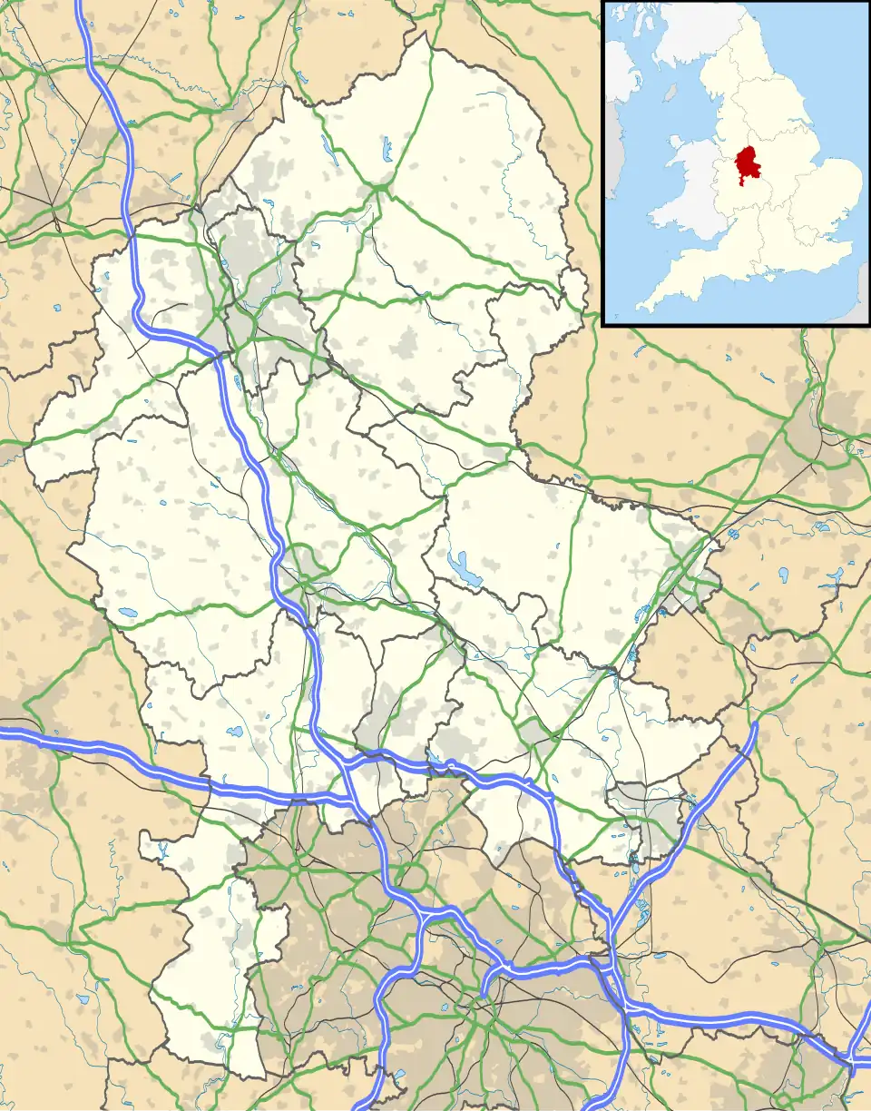 Apeton Location within Staffordshire | |
| OS grid reference | SJ850182 |
| Civil parish | |
| District | |
| Shire county | |
| Region | |
| Country | England |
| Sovereign state | United Kingdom |
| Post town | Stafford |
| Postcode district | ST20 |
| Dialling code | 01785 |
| Police | Staffordshire |
| Fire | Staffordshire |
| Ambulance | West Midlands |
| UK Parliament | |
Apeton is a hamlet in Staffordshire in the West Midlands region of England. It is located 5+1⁄2 miles (8.9 km) southwest of Stafford,[1] in the civil parish of Church Eaton[2] and the Borough of Stafford.
Apeton is mentioned as Abetone in the 11th-century Domesday Book, when it was part of the land of Robert de Stafford.[3]
In the 1880s it was in the parish of Gnosall, until parts were transferred to Bradley and Haughton.[1][4] The boundaries were changed again in 1934, when Church Eaton parish was extended to include Apeton to the north.[5]
References
- ^ a b "Descriptive Gazetteer Entry for Apeton (John Bartholomew, Gazetteer of the British Isles (1887))". A Vision of Britain through Time. Retrieved 15 October 2023.
- ^ "Church Eaton". Retrieved 15 October 2023.
- ^ Apeton in the Domesday Book
- ^ "Gnosall AP/Ch/CP". A Vision of Britain through Time. Retrieved 15 October 2023.
- ^ "Staffordshire Places: Church Eaton". Staffordshire Past Track. Retrieved 15 October 2023.
External links
Wikimedia Commons has media related to Apeton.