Ar Rabīʻatayn
Ar Rabīʻatayn
الربيعتين | |
|---|---|
 Ar Rabī‘atayn, Juban | |
 Ar Rabī‘atayn, Juban, Ad Dhale | |
| Coordinates: 13°55'59.3"N 44°53'28.6"E | |
| Country | |
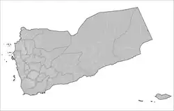
| Governorate | Dhale |
| District | Juban |
| Elevation | 2,199 m (7,214.6 ft) |
| Population (2004) | |
• Total | 6,978 |
| Time zone | UTC+3 (Yemen Standard Time) |
Ar Rabīʻatayn is a sub-district of Juban, Yemen of the Dhale Governorate. As of 2004, Ar Rabī‘atayn had a population of 6,978 inhabitants.[1]
Houses
There are at least a few thousand houses located within Ar Rabī‘atayn.
| Name | Geolocation[2] |
|---|---|
| Bani Soofi | 13°56'1.25" N, 44°53'26.38" E |
References
- ^ "Ar Rabīʽatayn - Wikidata". city-facts. Retrieved July 26, 2021.
- ^ "Ar Rabī'atayn District Map". WikiData. Retrieved July 26, 2021.