Arens Field
Arens Field Airport | |||||||||||
|---|---|---|---|---|---|---|---|---|---|---|---|
| Summary | |||||||||||
| Airport type | Public | ||||||||||
| Owner | Winamac- Pulaski County BOAC | ||||||||||
| Location | Winamac, Indiana | ||||||||||
| Opened | August 1969[1] | ||||||||||
| Elevation AMSL | 708 ft / 215.8 m | ||||||||||
| Map | |||||||||||
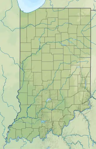 RWN Location of airport in Indiana  RWN RWN (the United States) | |||||||||||
| Runways | |||||||||||
| |||||||||||
Arens Field Airport (ICAO: KRWN, FAA LID: RWN) is a public airport 3 miles (4.8 km) north of Winamac, in Pulaski County, Indiana. The airport was founded in August 1969.
See also
References
- ^ "Arens Field Airport". AirNav, LLC. Retrieved 2016-10-18.
External links
- "AirNav: KRWN - Arens Field Airport". airnav.com. Retrieved 2014-07-29.
41°05′36″N 86°36′18″W / 41.093417°N 86.604888°W