Arielli
Arielli | |
|---|---|
| Comune di Arielli | |
Location of Arielli | |
 Arielli Location of Arielli in Italy 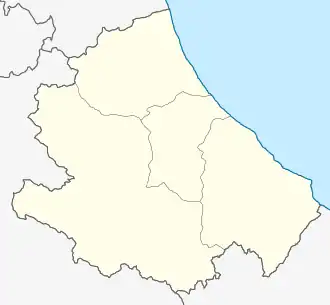 Arielli Arielli (Abruzzo) | |
| Coordinates: 42°16′N 14°18′E / 42.267°N 14.300°E | |
| Country | Italy |
| Region | Abruzzo |
| Province | Chieti (CH) |
| Frazioni | Colle Martino, Contrada Valle, Fonte delle Chiavi, Fonte Grande, Pescarese, San Romano, Villa Carloni |
| Government | |
| • Mayor | Catia Benarrivato |
| Area | |
• Total | 11.72 km2 (4.53 sq mi) |
| Elevation | 298 m (978 ft) |
| Population (30 April 2017)[2] | |
• Total | 1,143 |
| • Density | 98/km2 (250/sq mi) |
| Demonym | Ariellesi |
| Time zone | UTC+1 (CET) |
| • Summer (DST) | UTC+2 (CEST) |
| Postal code | 66030 |
| Dialing code | 0871 |
| Patron saint | St. Michael Archangel |
| Saint day | 29 September |
| Website | Official website |
Arielli (Neapolitan: Rijille) is a village and comune in the province of Chieti, Abruzzo, central-eastern Italy, located on a hill overlooking the spring area of the homonymous river.
Its territory is hilly, rich in vineyards and olive groves.
Arielli was on the Gustav Line during WW2.
Main sights
- Church of Madonna delle Grazie, with a terracotta statue of the Holy Mary dating from the 1590.
- Church of San Rocco (12th century)
- Church of San Michele Arcangelo
References
- ^ "Superficie di Comuni Province e Regioni italiane al 9 ottobre 2011". Italian National Institute of Statistics. Retrieved 16 March 2019.
- ^ All demographics and other statistics from the Italian statistical institute (Istat)