Aristocrat Ranchettes, Colorado
Aristocrat Ranchettes, Colorado | |
|---|---|
 One of the roads in Aristocrat Ranchettes. | |
 Location of the Aristocrat Ranchettes CDP in Weld County, Colorado. | |
 Aristocrat Ranchettes Location of Aristocrat Ranchettes, Colorado. 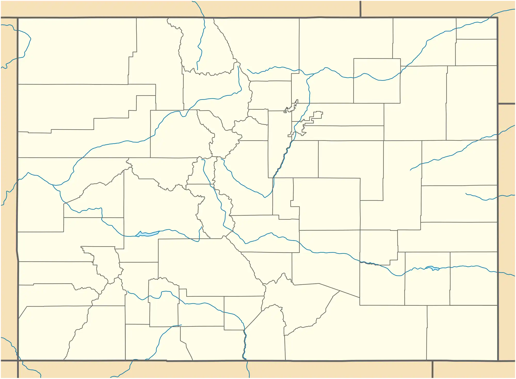 Aristocrat Ranchettes Aristocrat Ranchettes (Colorado) | |
| Coordinates: 40°06′33″N 104°45′45″W / 40.1091°N 104.7625°W[2] | |
| Country | United States |
| State | Colorado |
| County | Weld[1] |
| Government | |
| • Type | unincorporated community |
| • Body | Weld County[1] |
| Area | |
• Total | 1.867 sq mi (4.835 km2) |
| • Land | 1.867 sq mi (4.835 km2) |
| • Water | 0.000 sq mi (0.000 km2) |
| Elevation | 5,004 ft (1,525 m) |
| Population | |
• Total | 1,715 |
| • Density | 920/sq mi (350/km2) |
| Time zone | UTC−07:00 (MST) |
| • Summer (DST) | UTC−06:00 (MDT) |
| ZIP Code[4] | Fort Lupton 80621 |
| Area codes | 303/720/983 |
| GNIS pop ID | 1852836 |
| GNIS CDP ID | 2407757 |
| FIPS code | 08-03015 |
Aristocrat Ranchettes is an unincorporated community and a census-designated place (CDP) located in Weld County, Colorado, United States. The population of the Aristocrat Ranchettes CDP was 1,715 at the United States Census 2020.[3] The Fort Lupton post office (Zip Code 80621) serves the area.[4] The CDP is a part of the Greeley, CO Metropolitan Statistical Area.
Geography
The Aristocrat Ranchettes CDP has an area of 1,195 acres (4.835 km2), all land.[3]
Demographics
The United States Census Bureau initially defined the Aristocrat Ranchettes CDP for the United States Census 2000.
| Year | Pop. | ±% |
|---|---|---|
| 2000 | 1,254 | — |
| 2010 | 1,344 | +7.2% |
| 2020 | 1,715 | +27.6% |
| Source: United States Census Bureau | ||
See also
- Front Range Urban Corridor
- Greeley, CO Metropolitan Statistical Area
- List of census-designated places in Colorado
- List of populated places in Colorado
References
- ^ a b "Colorado Counties". Colorado Department of Local Affairs. Retrieved January 17, 2025.
- ^ a b "Aristocrat Ranchettes, Colorado". Geographic Names Information System. United States Geological Survey, United States Department of the Interior. Retrieved January 17, 2025.
- ^ a b c d "State of Colorado Census Designated Places - BAS20 - Data as of January 1, 2020". United States Census Bureau. Retrieved November 3, 2021.
- ^ a b "Zip Code 80621 Map and Profile". zipdatamaps.com. 2020. Retrieved December 27, 2020.
External links
Wikimedia Commons has media related to Weld County, Colorado.
Municipalities and communities of Weld County, Colorado, United States | ||
|---|---|---|
| Cities | 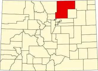 | |
| Towns | ||
| CDPs | ||
| Unincorporated communities | ||
| Ghost towns | ||
| Trading posts | ||
| Footnotes | ‡This populated place also has portions in an adjacent county or counties | |