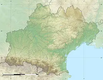
Arrats
| Arrats | |
|---|---|
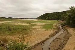
_moulin_sur_un_bras_de_l'Arrats.JPG) The river in L'Isle-Arné | |
  | |
| Location | |
| Country | France |
| Physical characteristics | |
| Source | |
| • location | Plateau de Lannemezan |
| Mouth | |
• location | Garonne |
• coordinates | 44°5′42″N 0°50′48″E / 44.09500°N 0.84667°E |
| Length | 162 km (101 mi) |
| Basin features | |
| Progression | Garonne→ Gironde estuary→ Atlantic Ocean |
| Tributaries | |
| • right | Arrats de devant |
The Arrats is a 162 km (101 mi) long river in southern France, left tributary of the Garonne.[1] Its source is in the northern foothills of the Pyrenees, near Sariac-Magnoac. It flows north through the following départements and towns:
It flows into the Garonne near Valence, between Castelsarrasin and Agen.
References