Arroyo Las Positas
| Arroyo Las Positas | |
|---|---|
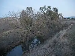 Arroyo Las Positas near its beginning, with Interstate 580 in the background. | |
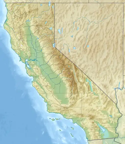 Location of the mouth in California | |
| Etymology | Spanish |
| Location | |
| Country | United States |
| State | California |
| Region | Alameda County |
| Cities | Livermore, Dublin |
| Physical characteristics | |
| Source | confluence |
| • location | north of Livermore |
| • coordinates | 37°42′20″N 121°45′18″W / 37.70556°N 121.75500°W[1] |
| • elevation | 482 ft (147 m) |
| Mouth | Arroyo Mocho |
• location | north of Dublin |
• coordinates | 37°41′41″N 121°51′34″W / 37.69472°N 121.85944°W[1] |
• elevation | 348 ft (106 m)[1] |
Arroyo Las Positas is a 7.4-mile-long (11.9 km)[2] westward-flowing watercourse in Alameda County, California, which begins at the confluence of Arroyo Seco and Cayetano Creek north of Livermore, and empties into Arroyo Mocho in Dublin, California.[3]
See also
References
- ^ a b c U.S. Geological Survey Geographic Names Information System: Arroyo Las Positas
- ^ U.S. Geological Survey. National Hydrography Dataset high-resolution flowline data. The National Map Archived 2012-03-29 at the Wayback Machine, accessed March 15, 2011
- ^ "Watershed Map" (PDF). Alameda Creek Alliance. Archived (PDF) from the original on 2015-12-09. Retrieved 2021-01-07.