Assineau River
| Assineau River | |
|---|---|
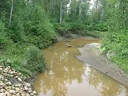
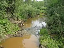 The Assineau River after heavy rainfall | |
| Location | |
| Country | Canada |
| Province | Alberta |
| Physical characteristics | |
| Source | |
| • location | Sawridge Hill, Grizzly Ridge Wildland Provincial Park |
| • coordinates | 55°13′24″N 115°13′13″W / 55.22333°N 115.22028°W |
| • elevation | 819 m (2,687 ft) |
| Mouth | |
• location | Lesser Slave Lake |
• coordinates | 55°23′27″N 115°11′54″W / 55.39083°N 115.19833°W |
• elevation | 577 m (1,893 ft) |
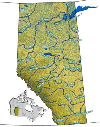
The Assineau River is a short river forming in central Alberta. The Assineau flows into Lesser Slave Lake, which flows out through the Lesser Slave River, a major tributary of the Athabasca River. The name of the river was in use by 1904. It is suggested that Assineau is a version of the Cree word for nobody.[1][2]
The river forms in Grizzly Ridge Wildland Provincial Park and heads north towards Lesser Slave Lake. The river is bridged by Alberta Highway 2 and flows past the hamlet of Assineau, Alberta.[3]
See also
References
- ^ Aubrey, Merrily. Place Names of Alberta: Volume IV, Northern Alberta. Calgary: University of Calgary Press, 1996. Page 7.
- ^ Place-names of Alberta. Ottawa: Geographic Board of Canada. 1928. p. 13.
- ^ Mussio Ventures.South Peace Alberta Mapbook.Burnaby: Backroad Mapbooks, 2004.