Atlasburg, Pennsylvania
Atlasburg, Pennsylvania | |
|---|---|
 Atlasburg, Pennsylvania  Atlasburg, Pennsylvania | |
| Coordinates: 40°20′29″N 80°22′56″W / 40.3414°N 80.3822°W | |
| Country | United States |
| State | Pennsylvania |
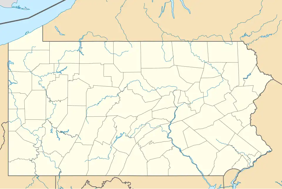
| County | Washington |
| Area | |
• Total | 0.67 sq mi (1.75 km2) |
| • Land | 0.67 sq mi (1.75 km2) |
| • Water | 0.00 sq mi (0.00 km2) |
| Population | |
• Total | 351 |
| • Density | 520.77/sq mi (200.93/km2) |
| Time zone | UTC-5 (Eastern (EST)) |
| • Summer (DST) | UTC-4 (EDT) |
| ZIP code | 15004[3] |
| Area code | 724 |
| FIPS code | 42-03472 |
Atlasburg is a census-designated place[4] located in Smith Township, Washington County in the state of Pennsylvania. The community is located in northern Washington County along Pennsylvania Route 18 about 5 miles south of the borough of Burgettstown. As of the 2010 census the population was 401 residents.
Demographics
| Census | Pop. | Note | %± |
|---|---|---|---|
| 2010 | 401 | — | |
| 2020 | 351 | −12.5% | |
| U.S. Decennial Census[5][2] | |||
References
- ^ "ArcGIS REST Services Directory". United States Census Bureau. Retrieved October 12, 2022.
- ^ a b "Census Population API". United States Census Bureau. Retrieved October 12, 2022.
- ^ "Atlasburg PA ZIP Code". zipdatamaps.com. 2023. Retrieved October 31, 2023.
- ^ "2010 Census Interactive Population Search". Archived from the original on January 13, 2016. Retrieved December 7, 2017.
- ^ "Census of Population and Housing". Census.gov. Retrieved June 4, 2016.
