Auchterhouse Hill
| Auchterhouse Hill | |
|---|---|
 | |
| Highest point | |
| Elevation | 426 m (1,398 ft)[1][2] |
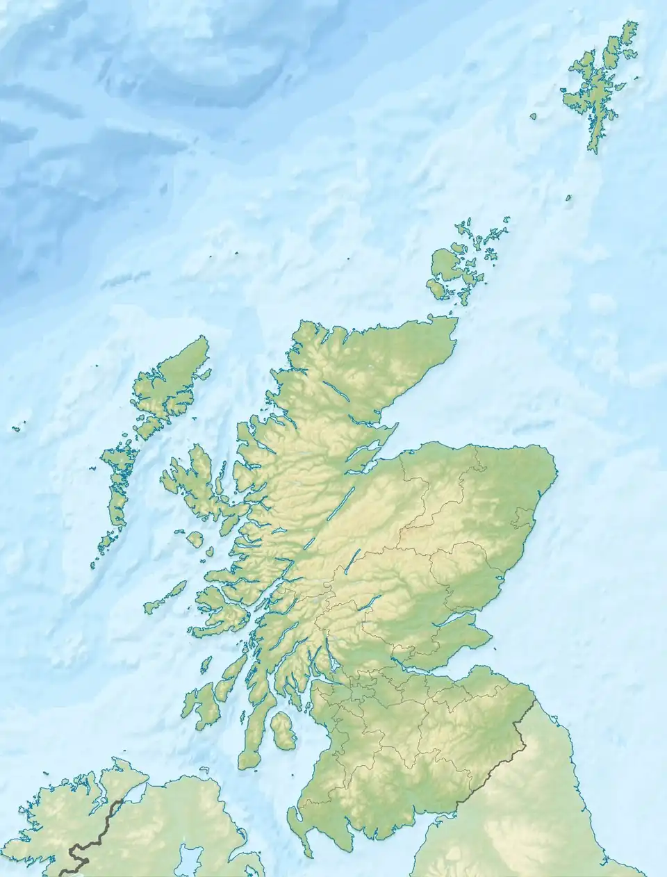
| Coordinates | 56°32′41″N 3°03′08″W / 56.5448°N 3.0522°W[1] |
| Geography | |
 Auchterhouse Hill | |
| Parent range | Sidlaws |
| Topo map | OS Landranger 53 |
| Climbing | |
| Easiest route | Walk on path to summit |
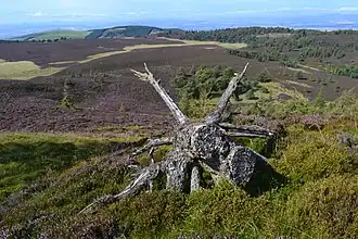
Auchterhouse Hill is the second highest hill of the Sidlaw range in South East Angus. At 426 metres (1,398 ft), it is classified as a Tump with a relative height of 81 m (266 ft). Auchterhouse Hill is located near Auchterhouse and is higher than Balkello Hill and is smaller than nearby Craigowl Hill. There is an ancient hill fort on the summit.[1]
The annual Auchterhouse Hill Race takes place in March.
References
- ^ a b c "Auchterhouse Hill". Gazetteer for Scotland. Retrieved 7 January 2019.
- ^ "Topographic map of Auchterhouse Hill". opentopomap.org. Retrieved 16 June 2023.