Audley End Airfield
Audley End Airfield | |||||||||||
|---|---|---|---|---|---|---|---|---|---|---|---|
| Summary | |||||||||||
| Airport type | Public/ Unlicensed | ||||||||||
| Operator | Lord Breybrooke | ||||||||||
| Location | Saffron Walden | ||||||||||
| Elevation AMSL | 282 ft / 86 m | ||||||||||
| Coordinates | 52°00′31″N 000°13′27″E / 52.00861°N 0.22417°E | ||||||||||
| Map | |||||||||||
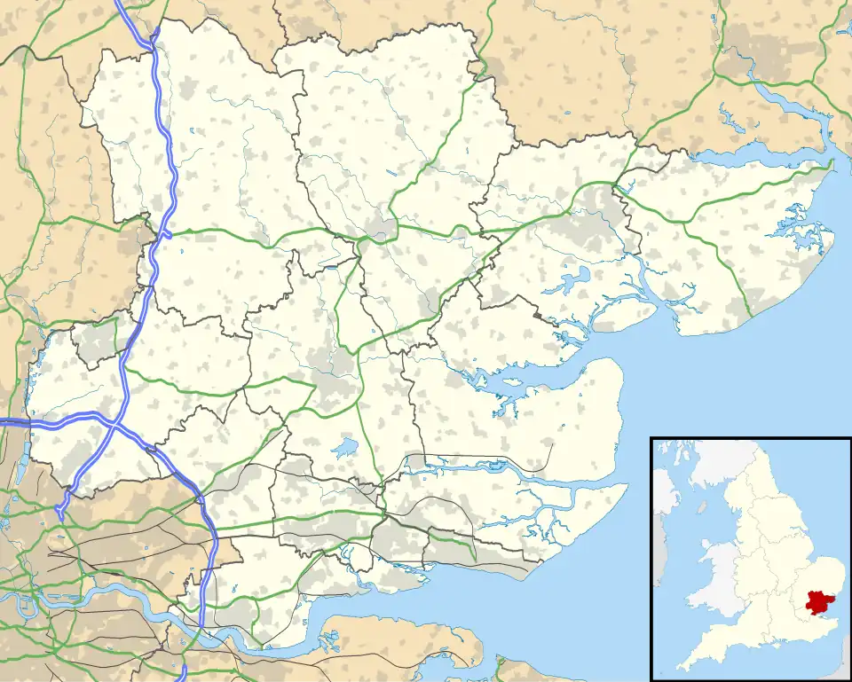 EGO2 Location in Essex | |||||||||||
| Runways | |||||||||||
| |||||||||||
Audley End Airfield is located to the south west of Saffron Walden near to Saffron Walden County High School in the Uttlesford district of Essex, England.[1] It serves general aviation aircraft and has a grass runway.[2]
Airfield
The airfield's landing strip is 752m long and the landing fee is £5.00. It is north east of London and has no facilities and a small terminal building.[3]
References
- ^ "Audley End Essex". Airfield Cards. Retrieved 22 July 2015.
- ^ "Vintage Fabrics Aircraft Services". Archived from the original on 4 March 2016. Retrieved 21 July 2015.
- ^ "Audley End Airfield".