Aunby
| Aunby | |
|---|---|
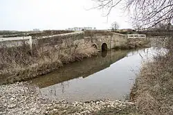 Ford and bridge over the River Glen near Aunby. This tributary of the West Glen is fed from the lakes at Holywell. | |
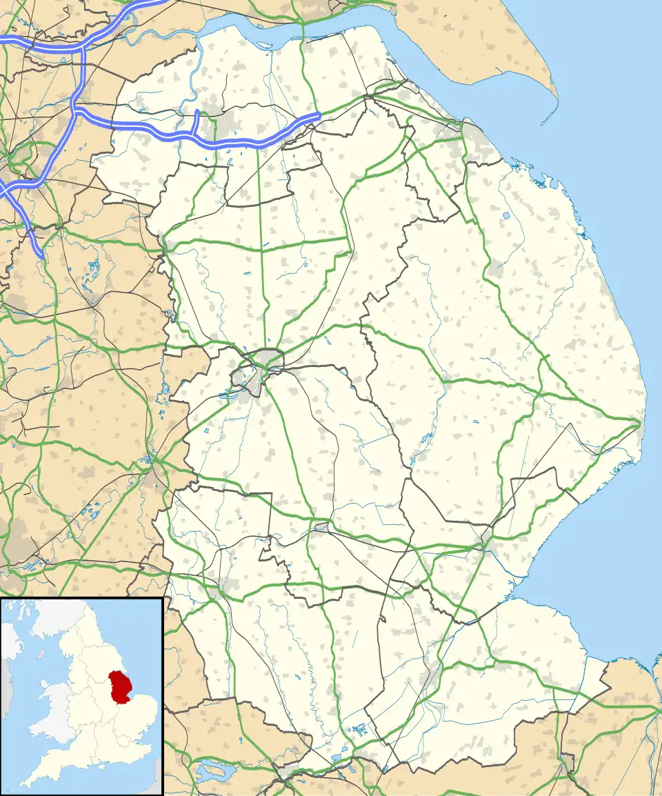 Aunby Location within Lincolnshire | |
| OS grid reference | TF021146 |
| • London | 85 mi (137 km) S |
| Civil parish | |
| District | |
| Shire county | |
| Region | |
| Country | England |
| Sovereign state | United Kingdom |
| Post town | Stamford |
| Postcode district | PE9 |
| Police | Lincolnshire |
| Fire | Lincolnshire |
| Ambulance | East Midlands |
| UK Parliament | |
Aunby is a village in the civil parish of Careby Aunby and Holywell, in the South Kesteven district of Lincolnshire, England. It is situated north from Stamford on the B1176 road,[1] and just south of Careby. In 1921 the parish had a population of 42.[2] Aunby was formerly in the parish of Castle Bytham,[3] in 1866 Aunby became a separate civil parish,[4] on 1 April 1931 the parish was abolished to form "Careby, Aunby and Holywell".[5]
Aunby consists of Manor and Lodge farms, and a deserted medieval village.[6] The River Glen flows to the east of the village, next to the East Coast Main Line. Close to the west is Rutland.
References
- ^ B1176, geograph.org.uk; retrieved 23 June 2011
- ^ "Population statistics Aunby CP/Hmlt through time". A Vision of Britain through Time. Retrieved 26 December 2023.
- ^ "History of Aunby, in South Kesteven and Lincolnshire". A Vision of Britain through Time. Retrieved 26 December 2023.
- ^ "Relationships and changes Aunby CP/Hmlt through time". A Vision of Britain through Time. Retrieved 26 December 2023.
- ^ "Bourne Registration District". UKBMD. Retrieved 26 December 2023.
- ^ Historic England. "Aunby (348327)". Research records (formerly PastScape). Retrieved 23 June 2011.
External links
![]() Media related to Aunby at Wikimedia Commons
Media related to Aunby at Wikimedia Commons