Avre (Eure)
| Avre | |
|---|---|
 | |
.png) | |
  | |
| Location | |
| Country | France |
| Physical characteristics | |
| Source | |
| • location | Orne |
| • elevation | 280 m (920 ft) |
| Mouth | |
• location | Eure |
• coordinates | 48°46′51″N 1°22′30″E / 48.78083°N 1.37500°E |
| Length | 80 km (50 mi) |
| Basin size | 917 km2 (354 sq mi) |
| Discharge | |
| • average | 4.5 m3/s (160 cu ft/s) |
| Basin features | |
| Progression | Eure→ Seine→ English Channel |
The Avre (French pronunciation: [avʁ] ⓘ) is a river in France and a left tributary of the river Eure. It is 80.4 km (50.0 mi) long,[1] and its watershed extends to 917 km2.
Background
The headwaters are in the Perche forest in Orne, in the commune of Tourouvre au Perche.[1] It is 280m above sea level and joins with the Eure near Dreux and forms the border between the Eure and Eure-et-Loir départements.
The Avre flows through the Orne, Eure-et-Loir and Eure départments and historically forms part of the border of Normandy.
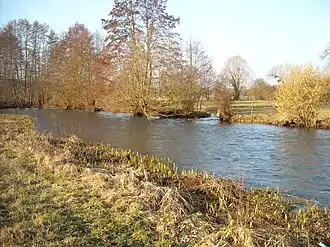
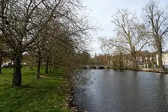
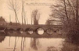
Gallery
- Avre, from source to mouth
-
-
References