Axe Creek
| Axe Creek Bendigo, Victoria | |
|---|---|
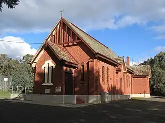 Church located in Axe Creek | |
 Axe Creek | |
| Coordinates | 36°49′S 144°23′E / 36.817°S 144.383°E |
| Population | 352 (2016 census)[1] |
| Postcode(s) | 3557 |
| Location |
|
| LGA(s) | City of Greater Bendigo |
| State electorate(s) | Bendigo East |
| Federal division(s) | Bendigo |
Axe Creek is a locality in the City of Greater Bendigo. The McIvor Highway passes through the north of Axe Creek.
Axe Creek is named after a nearby creek of the same name. Most residents visit Bendigo for access to amenities. There is no commercial area.
References
- ^ Australian Bureau of Statistics (27 June 2017). "Axe Creek (State Suburb)". 2016 Census QuickStats. Retrieved 24 August 2020.
| Suburbs | |
|---|---|
| Outlying towns | |
| Localities |
|
| Former localities and areas | |
^ - Territory divided with another LGA | |