Axe Lake Aerodrome
Axe Lake Aerodrome | |||||||||||
|---|---|---|---|---|---|---|---|---|---|---|---|
| Summary | |||||||||||
| Airport type | Private | ||||||||||
| Operator | Cenovus Energy Sunwest Aviation | ||||||||||
| Location | Axe Lake | ||||||||||
| Time zone | CST (UTC−06:00) | ||||||||||
| Elevation AMSL | 1,758 ft / 536 m | ||||||||||
| Coordinates | 57°16′09″N 109°50′51″W / 57.26917°N 109.84750°W | ||||||||||
| Map | |||||||||||
 CAX2 Location in Saskatchewan 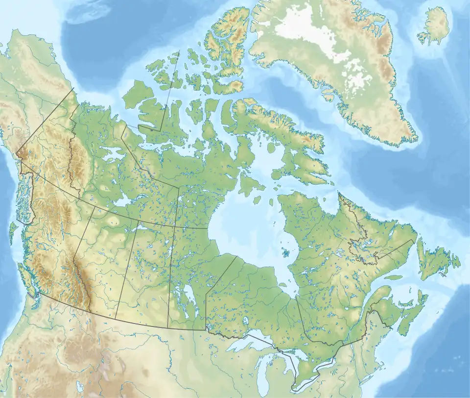 CAX2 CAX2 (Canada) | |||||||||||
| Runways | |||||||||||
| |||||||||||
Source: Canada Flight Supplement[1] | |||||||||||
Axe Lake Aerodrome (TC LID: CAX2) is located near the Axe Lake oil sands discovery in north-west Saskatchewan, Canada.[2] The aerodrome is located near the border with Alberta, just south of Vande Veen Lake.[3] The nearest highway is Highway 955 to the east. A gravel road connects the airport to the highway.
See also
References
- ^ Canada Flight Supplement. Effective 0901Z 16 July 2020 to 0901Z 10 September 2020.
- ^ "The Beginning of an Oil Sands Industry in Saskatchewan". Archived from the original on 23 May 2009.
- ^ "Vande Veen Lake". Geographical Names Data Base. Natural Resources Canada.
| By name | |
|---|---|
| By location indicator | |
| By province/territory | |
| By area | |
| National Airports System | |
| Related | |
| |