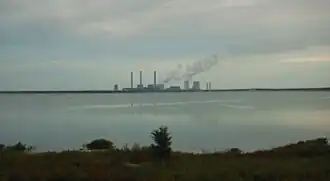
Bärwalder See
| Bärwalder See | |
|---|---|
 | |
 Bärwalder See | |
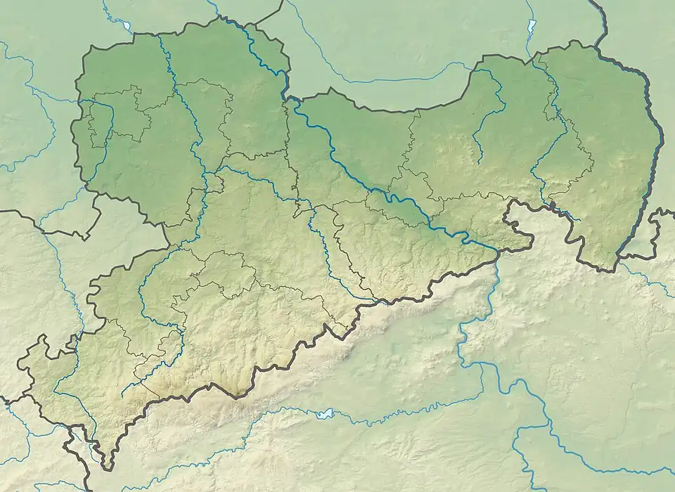
| Location | Boxberg municipality, Saxony |
| Coordinates | 51°22′N 14°32′E / 51.367°N 14.533°E |
| Primary inflows | Spree, Dürrbacher Fließ, Schulenburgkanal |
| Primary outflows | Schwarzer Schöps |
| Basin countries | Germany |
| Surface area | 12.99 km2 (5.02 sq mi) |
| Max. depth | 50 m (160 ft) |
| Water volume | 174,000,000 m3 (6.1×10⁹ cu ft) |
| Shore length1 | 20.6 km (12.8 mi) |
| Surface elevation | 125 m (410 ft) |
| 1 Shore length is not a well-defined measure. | |
Bärwalder See (Upper Sorbian: Bierwałdski jězor) is a lake in Boxberg municipality, Görlitz district, Saxony, Germany. At an elevation of 125 m, its surface area is 12.99 km².
External links
 Media related to Bärwalder See at Wikimedia Commons