Badin Tehsil
Badin
بدین تحصیل | |
|---|---|
Administrative subdivision (Taluka) of Badin District | |
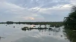 Scenic views along the road connecting Badin and Nindo Shaher | |
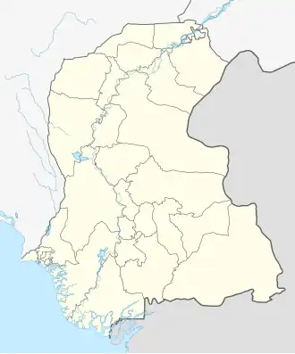 Badin Location in Pakistan 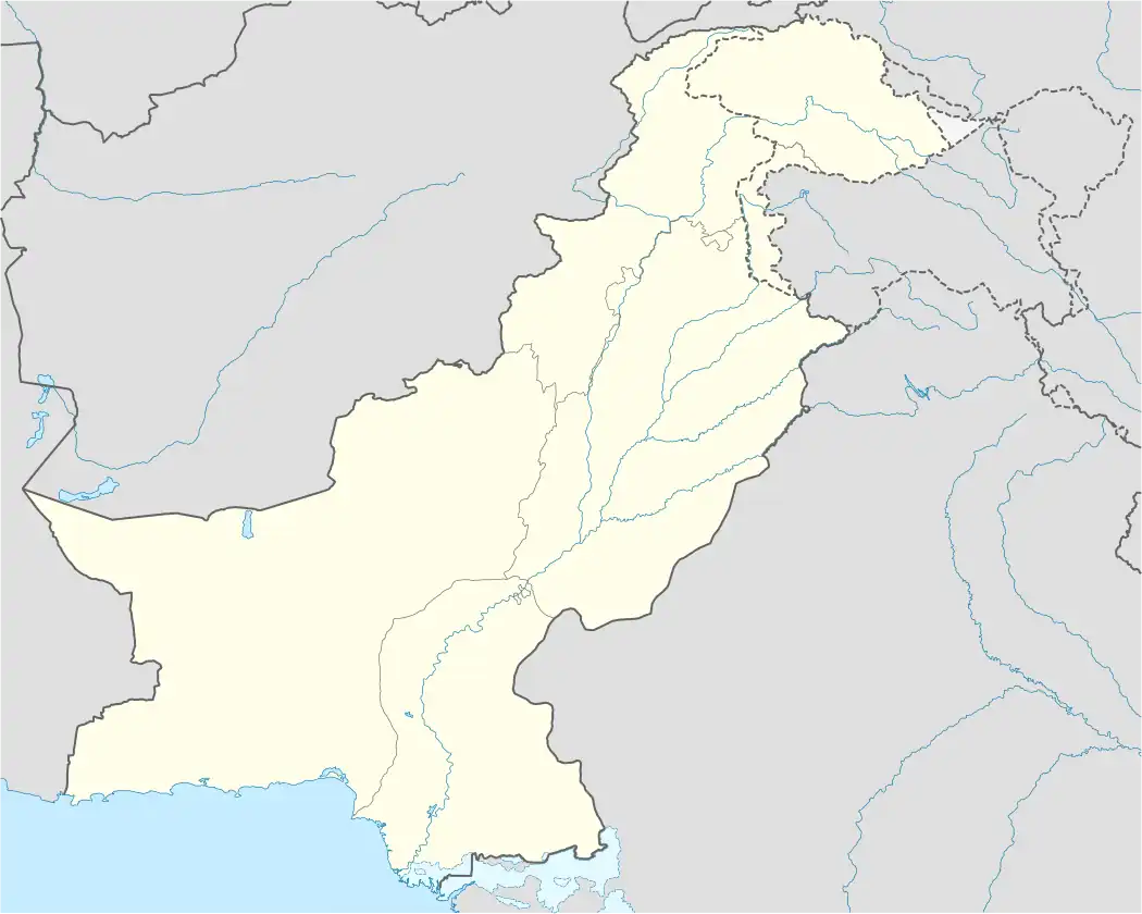 Badin Badin (Pakistan) | |
| Coordinates: 24°39′32″N 68°55′31″E / 24.65889°N 68.92528°E | |
| Country | |
| Province | Sindh |
| District | Badin |
| Taluka | Badin |
| Area | |
• Administrative subdivision (Taluka) of Badin District | 1,816 km2 (701 sq mi) |
| Population (2023)[1] | |
• Administrative subdivision (Taluka) of Badin District | 490,386 |
| • Density | 270/km2 (700/sq mi) |
| • Urban | 117,455 (23.95%) |
| • Rural | 372,931 (76.05%) |
| Literacy | |
| • Literacy rate | 37.70% |
| Time zone | UTC+5 (PST) |
| Number of union councils | 12 |
Badin Tehsil (Sindhi: بدين) is an administrative subdivision (Taluka) of Badin District in Sindh, Pakistan.[1] It is one of five Talukas in the district, alongside Golarchi (also known as Shaheed Fazil Rahu), Matli, Talhar, and Tando Bago.[1]
Badin Tehsil is further divided into 12 Union Councils, including (namely Badin 1, Badin 2 and Badin 3) which together constitute the district capital, Badin. Other Union Councils in the Tehsil include Nindo Shaher and Haji Abdullah Shah.
References
- ^ a b c "Table 1 : Area, Population by sex, sex ratio, population density, urban population, household size and annual growth rate, CENSUS - 2023, Sindh" (PDF). pbs.gov.pk. Pakistan Bureau of Statistics. Retrieved 14 May 2025.