Bagerhat
Bagerhat
বাগেরহাট | |
|---|---|
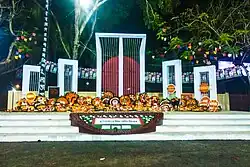 Shaheed Minar, Bagerhat | |
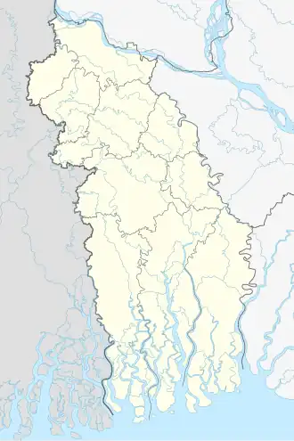 Bagerhat location of Bagerhat in Bangladesh 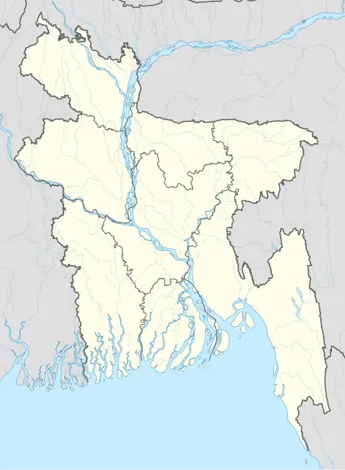 Bagerhat Bagerhat (Bangladesh) | |
| Coordinates: 22°39′11″N 89°47′31″E / 22.653°N 89.792°E | |
| Country | |
| Division | Khulna |
| District | Bagerhat |
| Upazila | Bagerhat Sadar |
| Government | |
| • Type | Mayor–Council |
| • Body | Bagerhat Municipality |
| Area | |
• Total | 15.90 km2 (6.14 sq mi) |
| Population (2011) | |
• Total | 49,073 |
| • Density | 3,100/km2 (8,000/sq mi) |
| • Religions | Islam • Hinduism |
| Time zone | UTC+6 (Bangladesh Time) |
| National Dialing Code | +880 |
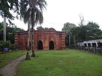
Bagerhat is a city in southern Bangladesh and the headquarters of Bagerhat district. Located on the banks of the Bhairab river, Bagerhat has a population of around 50,000. It is located near the old city of Khalifatabad, now a UNESCO World Heritage Site.
Demographics
At the 2011 census, Bagerhat had 11,982 households and a population of 49,073. 8,322 (16.96%) were under 10 years of age. Bagerhat has a sex ratio of 995 females per 1000 males and a literacy rate of 75.8%.[1][2]
References
- ^ a b "Bangladesh Population and Housing Census 2011 Zila Report – Bagherhat" (PDF). Bangladesh Bureau of Statistics. Archived from the original (PDF) on 2021-07-11. Retrieved 2023-12-10.
- ^ "Community Tables: Bagherhat district" (PDF). Bangladesh Bureau of Statistics. 2011. Archived from the original (PDF) on 2023-12-04. Retrieved 2023-12-10.