Bagnaskali Rural Municipality
Bagnaskali Rural Municipality
बगनासकाली गाउँपालिका | |
|---|---|
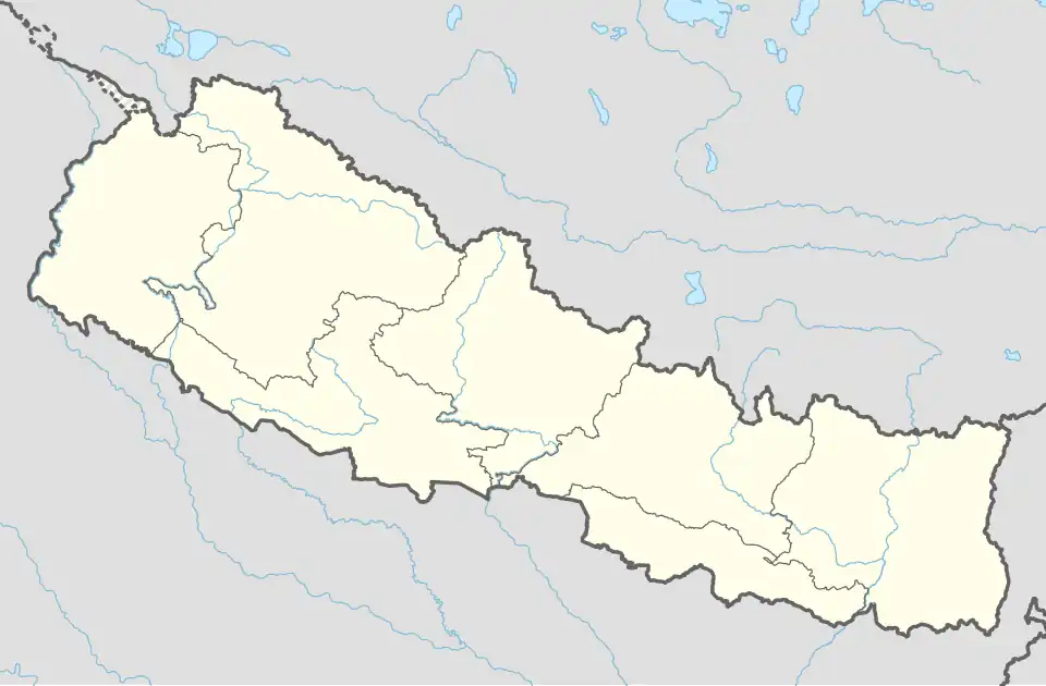 Bagnaskali Rural Municipality Location in Nepal | |
| Coordinates: 27°52′05″N 83°35′22″E / 27.868165°N 83.589448°E | |
| Country | |
| Province | Lumbini Province |
| District | Palpa District |
| Area | |
• Total | 84.3 km2 (32.5 sq mi) |
| Population | |
• Total | 24,361 |
| • Density | 290/km2 (750/sq mi) |
| Time zone | UTC+5:45 (Nepal Time) |
| Website | http://baganaskalimun.gov.np/ |
Bagnaskali Rural Municipality (Nepali :वगनासकाली गाउँपालिका) is a Gaunpalika in Palpa District in Lumbini Province of Nepal. On 12 March 2017, the government of Nepal implemented a new local administrative structure, with the implementation of the new local administrative structure, VDCs have been replaced with municipal and Village Councils. Bagnaskali is one of these 753 local units.[1][2]
References
- ^ "बगनासकाली गाउँपालिका चिर्तुङ्गधारा, पाल्पा प्रदेश नं ५, नेपाल सरकार | "सुन्दर शान्त समृद्द सभ्य बगनासकाली गाउँको सार,आर्थिक सामाजिक पर्यटन र पुर्वाधार विकासको दिगो आधार "". baganaskalimun.gov.np. Retrieved 2020-07-08.
- ^ "Bagnaskali (Rural Municipality, Nepal) - Population Statistics, Charts, Map and Location". www.citypopulation.de. Retrieved 2020-07-16.