Bahadur Garh
Bahadur Garh | |
|---|---|
Union council and town | |
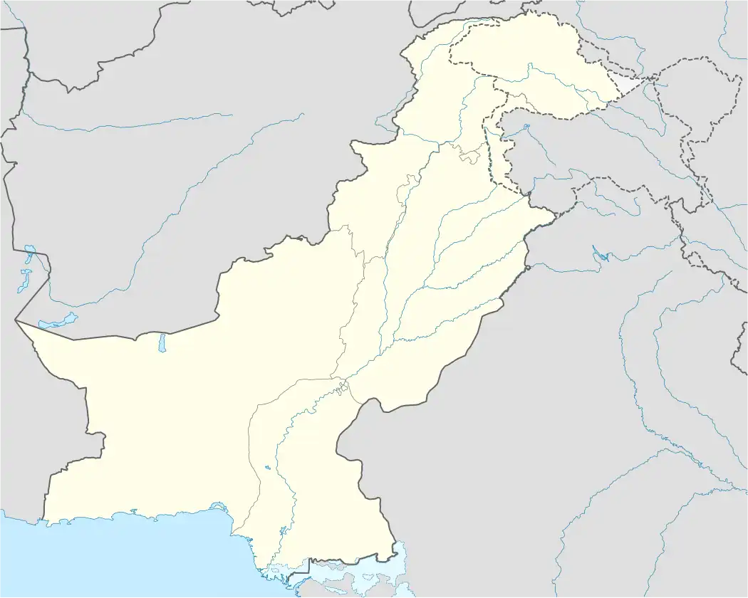 Bahadur Garh Location in Pakistan | |
| Coordinates: 30°13′30″N 70°39′5″E / 30.22500°N 70.65139°E | |
| Country | Pakistan |
| Province | Punjab |
| District | Dera Ghazi Khan District |
| Elevation | 381 ft (116 m) |
| Time zone | UTC+5 (PST) |
| • Summer (DST) | +6 |
Bahadur Garh is a town and union council of Dera Ghazi Khan District in the Punjab province of Pakistan.[1] It is located at 30°13'30N 70°39'5E and has an altitude of 116 metres (383 feet).[2]
References
- ^ khosa tribe home land.Tehsils & Unions in the District of D.G. Khan - Government of Pakistan Archived 2012-02-09 at the Wayback Machine
- ^ Location of Bahadurgarh - Falling Rain Genomics