Baileyboro, Texas
Baileyboro, Texas | |
|---|---|
 Baileyboro  Baileyboro | |
| Coordinates: 34°01′36″N 102°49′11″W / 34.0267521°N 102.8196615°W | |
| Country | United States |
| State | Texas |
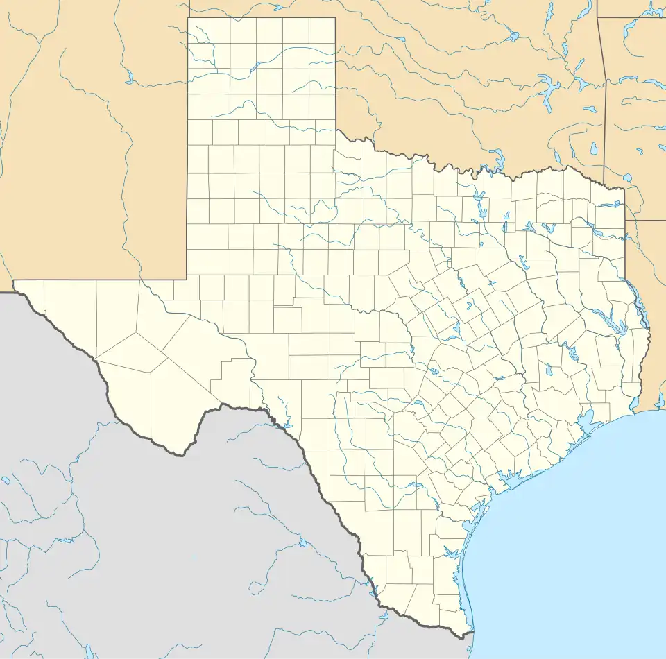
| County | Bailey |
| Elevation | 3,822 ft (1,165 m) |
| Time zone | UTC-6 (Central (CST)) |
| • Summer (DST) | UTC-5 (CDT) |
| Area code | 806 |
| GNIS feature ID | 1379378[1] |
Baileyboro is an unincorporated community in Bailey County, in the U.S. state of Texas.[1] According to the Handbook of Texas, the community had a population of 61 in 1980.
History
Baileyboro was first settled sometime before 1900. It had three stores and 100 residents in 1940. It went down to 61 in 1980.[2]
Geography
Baileyboro is located along Farm to Market Road 298 in south-central Bailey County. The Muleshoe National Wildlife Refuge is located southwest of the community.[2]
Climate
According to the Köppen Climate Classification system, Baileyboro has a semi-arid climate, abbreviated "BSk" on climate maps.[3]
Education
Baileyboro had a school in 1921 and 1940.[2] Today, the community is served by the Muleshoe Independent School District.
References
- ^ a b U.S. Geological Survey Geographic Names Information System: Baileyboro, Texas
- ^ a b c "Baileyboro, TX". tshaonline.org. Retrieved March 18, 2022.
- ^ Climate Summary for Baileyboro, Texas
Municipalities and communities of Bailey County, Texas, United States | ||
|---|---|---|
| City | 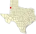 | |
| Unincorporated communities | ||
| Ghost town | ||