Bakainia
Bakainia | |
|---|---|
Village | |
| Bakainia | |
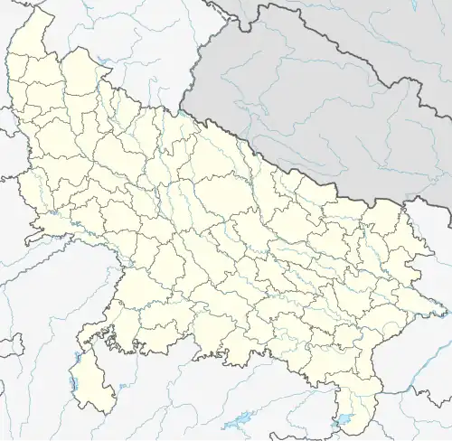 Bakainia Location of Bakainia in Uttar Pradesh | |
| Coordinates: 25°27′50″N 83°46′30″E / 25.46378340468522°N 83.77501310192021°E | |
| Country | |
| State | Uttar Pradesh |
| District | Ghazipur |
| Established | 1780 |
| Government | |
| • Type | Gram panchayat |
| • Body | Gram pradhan |
| Area | |
• Total | 1.2469 km2 (308.11 acres) |
| Elevation | 72 m (236 ft) |
| Population (2011) | |
• Total | 1,504 [1] |
| Languages | |
| • Official | Hindi/Urdu |
| Time zone | UTC+5:30 (IST) |
| PIN | 232326 to** (** area code) |
| Vehicle registration | UP 61 |
| Climate | BW (Köppen) |
Bakainia is a village of Ghazipur district, Uttar Pradesh, India. Bakiania was the part of Mania village but later was separated and was made another panchayat.[1][2][3]
References
- ^ "List of Villages in Ghazipur district, Uttarapradesh".
- ^ "Bakainia village, Bhdaura block, Ghazipur".
- ^ "Bakainia village of Ghazipur District, UttarPradesh". Archived from the original on 22 December 2024.