Baldy Mountain (Taos County, New Mexico)
| Baldy Mountain | |
|---|---|
 Baldy Mountain | |
| Highest point | |
| Elevation | 12,053 ft (3,674 m) NAVD 88[1] |
| Prominence | 208 ft (63 m)[1] |
| Coordinates | 36°47′08″N 105°26′24″W / 36.7855835°N 105.4400048°W[2] |
| Geography | |
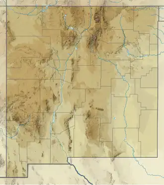
| Location | Taos County, New Mexico, U.S. |
| Parent range | Sangre de Cristo Mountains |
| Topo map | USGS Latir Peak |
Baldy Mountain is a peak of the Sangre de Cristo Mountains of New Mexico.[3] It is in the Latir Peak Wilderness, 3 miles (4.8 km) east of Latir Peak.
See also
References
- ^ a b "Baldy Mountain, New Mexico". Peakbagger.com. Retrieved February 10, 2014.
- ^ "Baldy Mountain". Geographic Names Information System. United States Geological Survey, United States Department of the Interior. Retrieved February 10, 2014.
- ^ Howell, Arthur Holmes; Lehmann, Valgene W.; Bailey, Vernon (1936). ... Revision of the North American Ground Squirrels: With a Classification of the North American Sciuridae. U.S. Government Printing Office.